Home
Welcome to the Lands and Realty Management website.
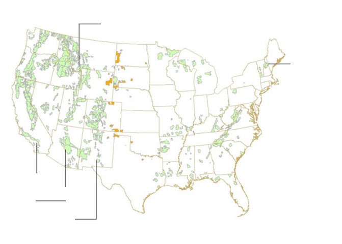
About Map Viewers: The Status and Encumbrance Map Viewer provides the most up to date Forest Service lands status information, including current NFS lands ownership data, regional and forest boundaries, and National Forest survey information. These data are updated on a weekly basis.
Please Note
: You can create a shortcut to the Map Service Viewers listed above on your desktop. Here is how. If you are using IE 8,9, 11, Chrome or Firefox:
- Click on an above hyperlink . This will take you to the map viewer page.
- Resize your web window to expose your desktop.
- At the top of the page, in the URL address window, left-click and drag the icon onto your desktop.
- Right click on the new icon on your desktop and choose "rename".
- Rename it to your liking (e.g. UFSF LWCF Map Viewer).
- You now have a desktop link directly to that map viewing service.
Our Mission
The Lands and Realty Management program secures and protects the American publics rights, title, value, and interests in its national forests and grasslands and authorizes a variety of uses on those lands to meet the needs of present and future generations.
Our Goal
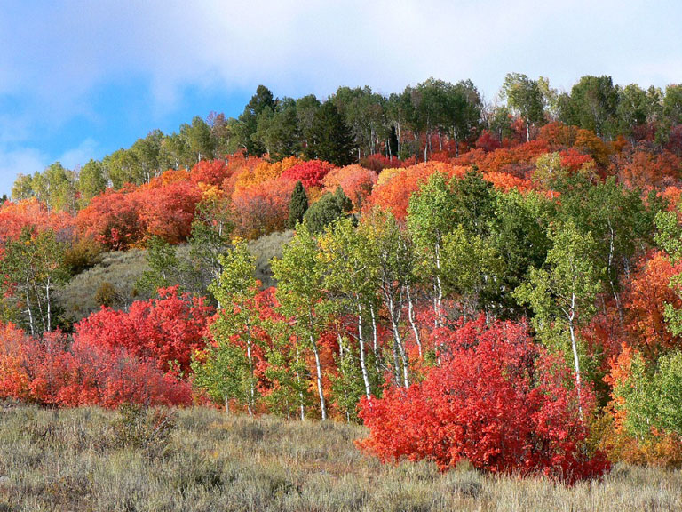
Nearly 193 million acres of public land are managed as national forests and grasslands. The protection of these lands and resources is a fundamental Forest Service responsibility. Through direct land management practices, the Lands and Realty Management program enables the agency to better manage Federal lands within or adjacent to National Forest System (NFS) boundaries and deliver the necessary products and services that are essential for enhancing natural resource stewardship and providing for the public’s enjoyment, future use, and access to NFS lands.
Our Activities
Lands and Realty Management carried out through four major activities:
-
Landownership Adjustment
- Special Use Authorizations and Administration
- Boundary and Title Management
- Valuation
Protection of the public’s interests in NFS lands is essential to the land stewardship and public trust responsibilities of the Forest Service. To obtain these goals, we as managers of the program will:
- Capture opportunities to consolidate landownership patterns through exchange, acquisition, and conveyance of lands to meet the objectives of forest land and resource management plans and to improve land management efficiencies.
- Meet the needs of adjacent landowners and the public for energy, utility services, access, communications, transportation, and national security.
- Secure and protect the rights, title, land, and resources of public land from unauthorized use and occupancy by providing legally defensible boundaries and accurate, complete landownership records of NFS lands.
- Assure the public receives a fair return for use or conveyance of public assets and for acquisition of private property.
What We Do
Landownership Adjustment
- Exchange lands to achieve a desired national forest landownership pattern that supports forest land and resource goals and objectives, addresses fragmentation, reduces future management costs, and responds to local community needs.
- Purchase land through the Land and Water Conservation Fund to protect critical resource areas and provide increased public recreation opportunities.
- Accept donations of land to consolidate NFS lands and protect critical resource areas.
- Improve legal public use of NFS lands by acquiring rights-of-way for roads and trails.
- Assure that market value is obtained for lands or interests in lands to protect the public and private property owner’s interest.
_________________________________________________________________
Special Uses And Administration
Authorize use of public lands by individuals, companies, organized groups, other Federal agencies, and State or local levels of government in a manner that protects natural resource values and public health and safety. For example:
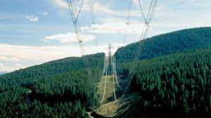
- Authorize uses that contribute to the Nation’s infrastructure for generating and transmitting energy resources, such as electric transmission facilities, oil and gas pipelines, and hydropower facilities.
- Authorize uses for communications, commerce, public health and safety, and homeland security, such as fiber-optic and wireless telecommunications; water development systems; and Federal, State, and local highways.
- Issue authorizations needed by landowners to exercise statutory rights and outstanding and reserved interests in NFS lands.
_________________________________________________________________
Boundary Title and Management
  Status Viewer Status Viewer
Survey national forest boundaries to identify and protect public lands.
- Maintain records of national forest land areas, land transactions, land status, permitted uses, and easements.
- Resolve landownership cases related to title claims, trespass, and unauthorized uses to protect public access and achieve effective management of NFS lands.
_________________________________________________________________
Valuation
Provide independent, objective, and impartial appraisal and consulting services to support landownership management and other Forest Service activities, such as the Forest Legacy Program, litigation, leasing, and fire management.
_________________________________________________________________
For More Information
For more information on our programs and activities, please contact:
USDA Forest Service
Lands and Realty Management Staff
1400 Independence Ave., SW
Mailstop 1124
Washington, DC 20250-1124
(202) 205-1248 Fax: (202) 205-1604
Or visit our Web site: https://www.fs.fed.us/land/staff
For details about a specific location or area of interest, please contact your local
Forest Service Office.
Find a contact in the
Washington Office Lands Staff
directory for a question about an agency-wide program or issue. For Land Adjustment contact information please contact the WO or Regional Land Adjustment Staffs.
Items of Interest
The WO-Lands Automated Lands Program (ALP) provides annual acreage data to the FS Albuquerque Service Center (ASC)
Budget & Finance staff for the purpose of computing All Service Receipts (ASR) revenue sharing payments to states and
counties. ALP also provides the Department of the Interior (DOI) with an annual accounting of NFS acres subject to
Payments in Lieu of Taxes (PILT). PILT acreage data is used to compute Federal payments to local governments to help
offset losses in property taxes due to non-taxable Federal lands within their boundaries. Geospatial datasets depicting
the annual ASR and PILT acreage data are now available for download here.
Land Areas of the National Forest System is the link to
the latest
statistics available on land areas administered by the Forest Service.
Print versions of the Mission and Goal statement are available in two file formats: Brochure (PDF) or text only version (PDF).
Note: You will need Adobe Reader (available free of charge from the Adobe website) to open the PDF file.
|
![[design image slice] U.S.
Department of Agriculture Forest Service on faded trees in medium light green background](/wo-resources/new/images/rmt-trees-left-usfs.gif)