![[design image slice] U.S.
Department of Agriculture Forest Service on faded trees in medium light green background](/wo-resources/new/images/rmt-trees-left-usfs.gif)


| Lands and Realty Management Home | |
| LWCF Purchases | |
| Special Uses | |
| Sale of FS Lands | |
| Public Law 109-432 Section 403(a) | |
Lands and Realty Staff
1400 Independence Ave., SW
Mailstop 1124
Washington, DC 20250-1124
Phone: (202) 205-1248
![]()
![]()
 |
 |
|
Land and Water Conservation Fund - Recreational Access
Welcome to the Land and Water Conservation Fund - Recreational Access Page Created by Congress in 1964, the Land and Water Conservation Fund (LWCF) provides money to federal, state and local governments to purchase land, water and wetlands for the the benefit of all Americans. LWCF appropriations from Congress are used, in part, to fund new recreational access for the public on your National Forest lands. Its all yours - go play, discover and beyond. For more information please go to the Forest Service LWCF website. New Recreational Access List:
Cherokee NF project YMCA Camp Ocoee One hundered and sixty (160) acres were added to Cherokee National Forest within the very important and popular Ocoee River watershed. For more information, please read this Chattanoogan article LINK
Cut Laurel Gap More than 127,000 acres of public lands from Cherokee National Forest to Mount Rogers National Recreation area in Virginia are now connected with acquisition of 1,098 acres in northeast Tennessee that will be added to the Cherokee National Forest. For more information please read Southern Trout News and The Fishing Wire.
|


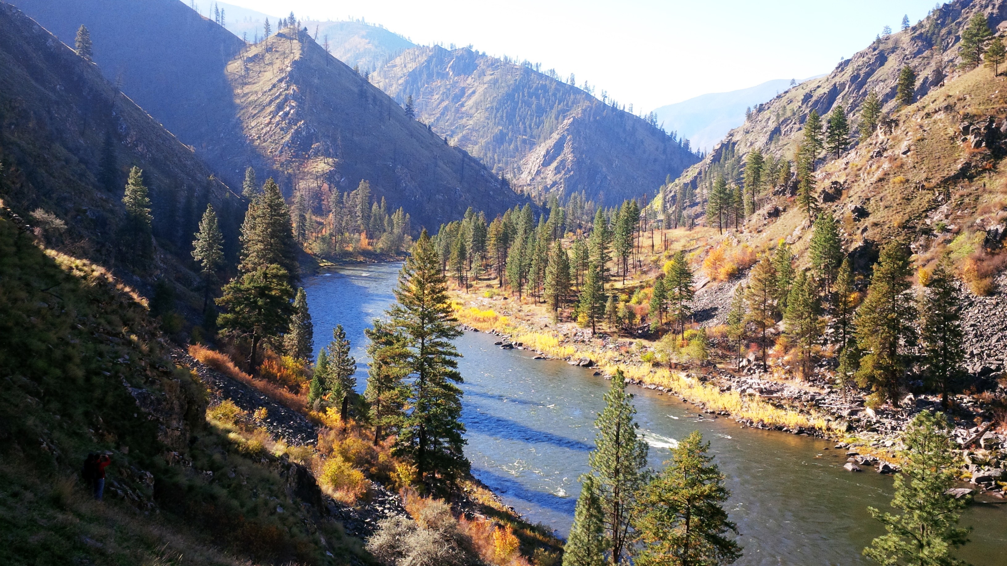
Painter Mine Parcel
Payette National Forest acquired 38.78 acres abutting the Salmon River in the Frank Church River of No Return Wilderness. For more information please see the PainterMine-CI Map (PDF).
.
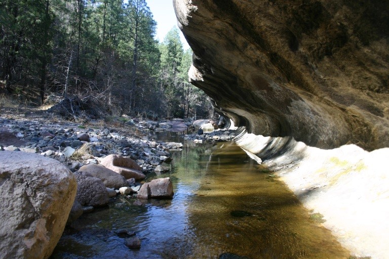
Fossil Creek Wild and Scenic Corridor
Coconino National forest acquired 19 acres to provide access to the last unprotected parcel of land inside the Fossil Creek Wild and Scenic River corridor. Click here for more information and a map on the Western Rivers Conservancy website here.

Upper Bear Creek - Gila National Forest
Gila National Forest now has 605 acres along Upper Bear Creek that includes a mile of the Continental Divide National Scenic Trail, and two miles of the Trail of the Mountain Spirits National Scenic Byway runs along its length. For more information and please go to The Trust For Public Land website here.
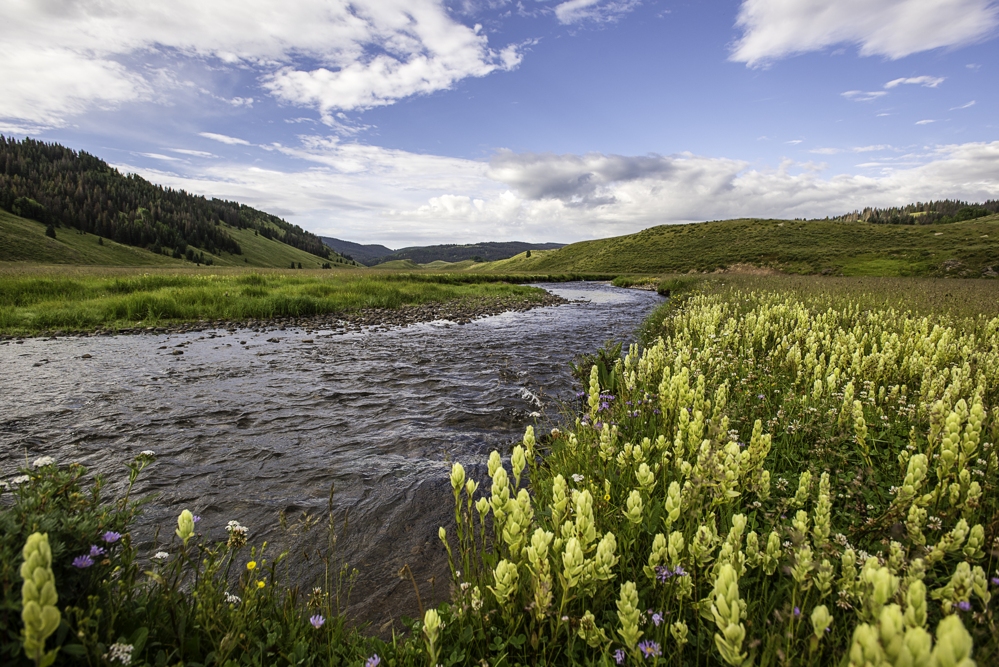
Bear River Group and Devil's Lake
The Eldorado NF acquired two parcels (Bear River group and Devils Lake) totaling 1768.79 acres, located within Amador County on the Amador Ranger District, which provide a needed right of way for the Silver Bear Snowmobile Trail and the Upper Pardoes 4x4 route and significant portions of frontage on the Bear River, as well as a number of small lakes/ponds, meadows, and seasonal streams.

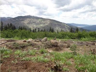
American River Headwaters Donation
The Tahoe National Forest acquired 3347.74-acres on the American River Ranger District, located approximately 13 miles southwest of Truckee and 12 miles west of Lake Tahoe. The land sits adjacent to the Granite Chief Wilderness Area and has been restored by the American River Conservancy (ARC), whose efforts include repairing at least 21 miles of roads, converting another 5 miles of roads to trails, restoring a small wetland, and providing public access on 2 miles of the Tevis Cup Trail. For more information please see the American River Headwaters Donation Map (PDF).
Rio de los Piños - Colorado
The Rio Grande National Forest, working with the partner Western Rivers Conservancy, acquired new access and permanently conserved 368 acres along Colorados Rio de los Pinos, a tributary to the Rio Grande and an outstanding Rocky Mountain trout stream.. For more information and please go to the Western Rivers website here.