


Piedra Falls Trail
Piedra Falls Trail (671) is a family-friendly hike. Walk upstream on the west side of the river to the irrigation head gate. The trail continues above and west of the head gate and river to the falls. This hike takes about 15 minutes from parking area to the falls. Caution should be used at falls - overspray can cause rocks to be slippery.
- Distance (one-way): 1/2 mile
- Minimum elevation: 8,400 feet
- Maximum elevation: 8,430 feet


Specific Trail Information
Trail Number
General Information
Water is available in East Fork of the Piedra River. Purification recommended.
Non-motorized use only. No e-bikes.
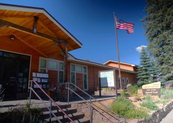
Address: 180 Pagosa Street Pagosa Springs, CO 81147
Phone: (719) 851-7377
Hours: Monday - Friday: 8am - 12pm; 1pm - 4:30pm (Closed on federal holidays)
Office Email: SM.FS.PagosaRD@usda.gov
Getting There
Trailhead/Starting Points
Piedra Falls Trailhead - restrooms are available.
Directions
From downtown Pagosa Springs, travel west on U.S. Highway 160 to Piedra Road (County Road 600/FR 631). Turn north on Piedra Road for 17 miles. Turn right on Middle Fork Road (FR 636). Travel 2 miles, then turn right on East Toner Road (FR 637). Stay on East Toner Road to the trailhead at its end.

