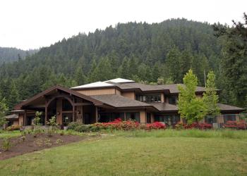
Lost Creek Trailhead
This trailhead provides access to:
- Lost Creek Trail #3462
See Trail page for more information.
General Information
Address: 46375 Highway 58 West Fir, OR 97492
Phone: (541) 782-2283
Hours: Monday-Friday, 8:00 a.m. - 4:30 p.m. (Closed on federal holidays)
Office Email: sm.fs.mfrd@usda.gov
Getting There
Directions
From the Lowell, OR, junction with Highway 58 (about 1 mile south of Lowell, OR, along South Pioneer Street), travel 7.6 miles east on Highway 58. Turn right on the Goodman Creek Road (Forest Road 5833) at milepost 20.6. This road junction is 10.9 miles west of the Middle Fork Ranger District office.
Travel 4.9 miles to the junction with Forest Road 5833-509. Keep to the left on Forest Road 5833. Continue approximately 1.5 miles. Parking space is located on the left and the trail is found on the right, up the road about 100 feet from the parking area.
Facility and Amenity Information
Accessibility
Restrooms
Restrooms are not available at this site.
Water
Potable water is not available at this site.


