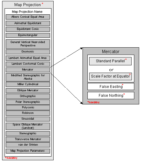
Standard Parallel, mandatory
line of constant latitude at which the surface of the Earth and the plane or developable surface intersect.
a multiplier for reducing a distance obtained from a map by computation or scaling to the actual distance along the equator.
False Easting, mandatory
the value added to all "x" values in the rectangular coordinates for a map projection. This value frequently is assigned to eliminate negative numbers. Expressed in the unit of measure identified in Planar Coordinate Units.
False Northing, mandatory
the value added to all "y" values in the rectangular coordinates for a map projection. This value frequently is assigned to eliminate negative numbers. Expressed in the unit of measure identified in Planar Coordinate Units.