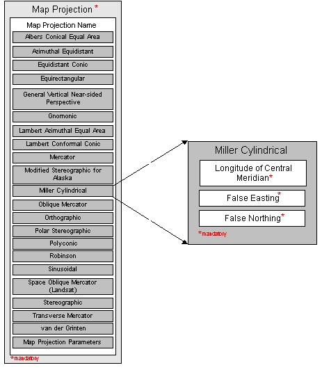
the line of longitude at the center of a map projection generally used as the basis for constructing the projection.
the value added to all "x" values in the rectangular coordinates for a map projection. This value frequently is assigned to eliminate negative numbers. Expressed in the unit of measure identified in Planar Coordinate Units.
False Northing, mandatory
the value added to all "y" values in the rectangular coordinates for a map projection. This value frequently is assigned to eliminate negative numbers. Expressed in the unit of measure identified in Planar Coordinate Units.