USDA Forest Service
USDA Forest Service | Global Positioning System | Contact Us
design graphic  
design graphic
Global Positioning System > Community Base Stations > Clickable Map

Clickable Map of US and Territories withTrimble GPS Community Base Stations

Internet available CBS's operated by various government agencies, universities, utilities, and private companies.

Graphic map of the United States and territories using red circle icons to show the locations of Community Base Station locations.

Graphic image of a small red circle.
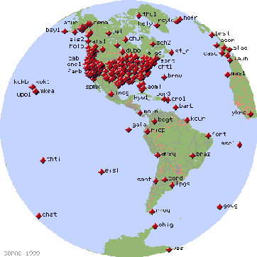
Click the red dots on this map for GPS data from that site.
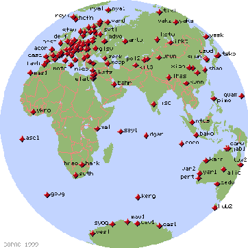
Graphic image of a rule showing centimeters from 0 through 20.


Linked Map of US and Territories with Continuously Operating Reference Stations (CORS):
National Geodetic Survey CORS Data Page

Graphic image of the United States and Pacific Islands using icons to indicate the locations of Continuously Operating Reference Stations (CORS)

Graphic image of a rule showing centimeters from 0 through 20.


Linked Map of GPS Data from Around the World:
Scripps Orbit and Permanent Array Center SOPAC

Graphic image of a global map showing North and South America, with locations of Scripps Orbit and Permanent Array Centers (SOPACs) marked as red diamond icons. Graphic image of a global map showing Europe and Africa, with locations of Scripps Orbit and Permanent Array Centers (SOPACs) marked as red diamond icons.

Last updated: 12/02/1999

design graphic
USDA logo which links to the department's national site. Forest Service logo which links to the agency's national site.