
Welcome to the Boise National Forest
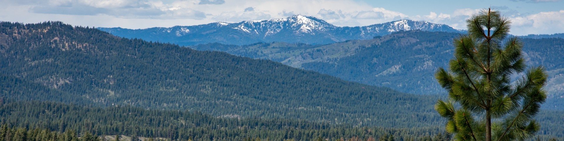
The Boise National Forest’s vast landscape spans over 2.5 million acres of diverse forest and grassland. Located northeast of Idaho’s capital city of Boise, recreationists can explore the North Fork Payette River Canyon at 2,800 feet in elevation to the nearly 10,000 foot peak of Trinity Mountain. Whether you choose to explore any of more than 500 trails, or cool off in one of over 250 lakes and reservoirs, the Boise National Forest is truly an outdoor enthusiast’s dream!

