

The Enchantment of Forest, Wilderness and Grasslands
In April, we transitioned our public websites to a modern web platform to better serve the public. With thousands of pages to update, some content may take longer to appear. We appreciate your patience as we work to make it easier than ever to access information and explore your national forests. Please send us an email using our Contact Us form if there is something you can't find!
The Cibola National Forest and National Grasslands encompasses 1.9 million acres. The four “sky island” ranger districts: Sandia, Mountainair, Magdalena, and Mt Taylor cover more than 1.6 million acres in New Mexico with elevations range up to 11,301 ft. The Cibola also has four wilderness areas: Sandia Mountain, Manzano Mountain, Withington and Apache Kid and administers four National Grasslands: Black Kettle, McClellan Creek, Kiowa and Rita Blanca covering 263,261 acres in northeastern New Mexico, Oklahoma, and Texas.
USFS cover photo by Todd Stewart: Field of flowers on Black Kettle NGs.
Prepare for Your Visit
Recreation Sites
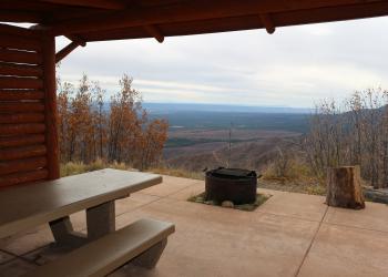
Four season opportunities for visitors to the forests, wilderness and grasslands
Find Your Way
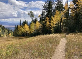
Cibola area maps are available in all formats and for all devices. Plan ahead by mapping your adventure.
Fee Passes
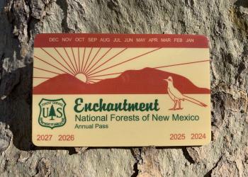
Check out what fees are required and what fee passes are available. Know before heading out.
Fire Information

The Southwest is looking at a potentially significant fire season. Protect the forest and surrounding communities by following fire-safe practices and staying informed of conditions in your area.
Get a Permit
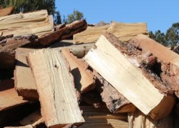
Some activities on the forest require a permit like firewood collection, recreation events, filming, weddings, and other events.
Applications for Temp Positions Now Open

Applications will be due through USAJobs.gov by August 22. Open positions are now listed.