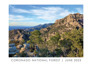
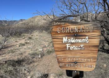
Welcome to Coronado National Forest
On April 22, 2025, we transitioned our public websites to a modern web platform to better serve the public. With thousands of pages to update, some content may take longer to appear.
We appreciate your patience as we work to make it easier than ever to access information and explore your national forests, both online and on the ground.
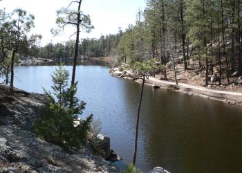
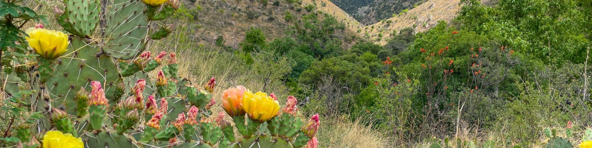
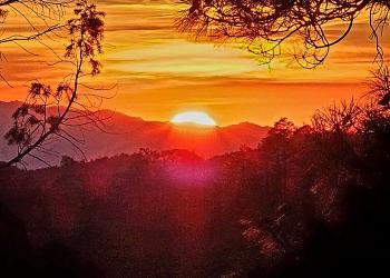
Experience all four seasons during a single day's journey. Enjoy spectacular views from the mountains, wander through the desert among the giant saguaro cactus and colorful wildflowers in the morning, linger over lunch beside a mountain stream or lake, and play in the snow all before the day's end.
Places to Stay

From the desert to the mountains, discover your next destination in the Coronado National Forest.
Visitor Maps and Guides

Maps for every need, the way you want them:
Interactive, print and downloadable, including Motor Vehicle Use maps.

Passes for a Year or Day
You may need to pay a fee depending on which sites you visit. Save money with a recreation pass.
Animals and Plants
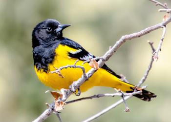
The different forest and habitat types provide for numerous species of wildlife, extractable resources, and special places for people to enjoy the outdoors.