Welcome to Okanogan-Wenatchee National Forest
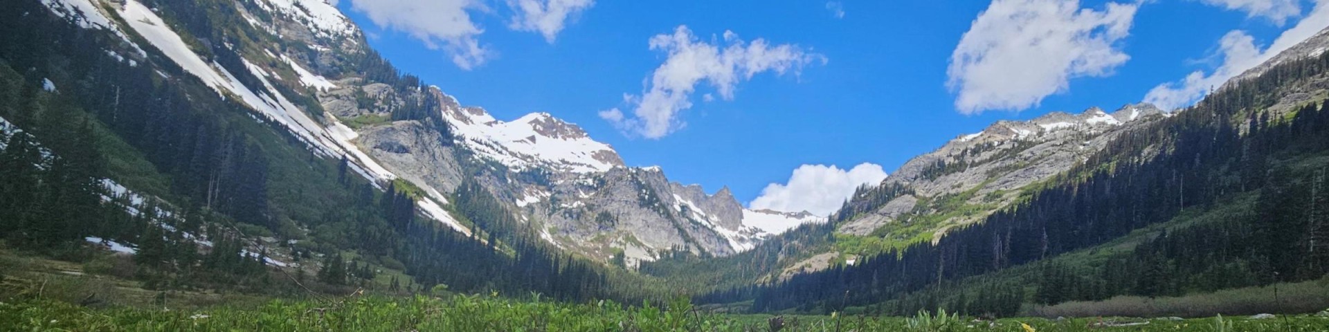
The Okanogan-Wenatchee National Forest is a large and diverse landscape, encompassing 3.8 million acres along the east slopes of the Cascade Range in Washington. The Forest extends all the way from the Canadian border to the Yakama Indian Reservation in the southern part of Washington state.
Due to the Forest's broad geographic range, the forest is very diverse - from the glaciated alpine peaks along the Cascade Crest and the numerous mountain ranges extending eastward from the crest, through deep, lush valleys of old growth forest, to the dry and rugged shrub-steppe country at its eastern edge. Elevations across the landscape range from below 1,000 feet to over 9,000 feet and precipitation varies widely throughout the terrain.