
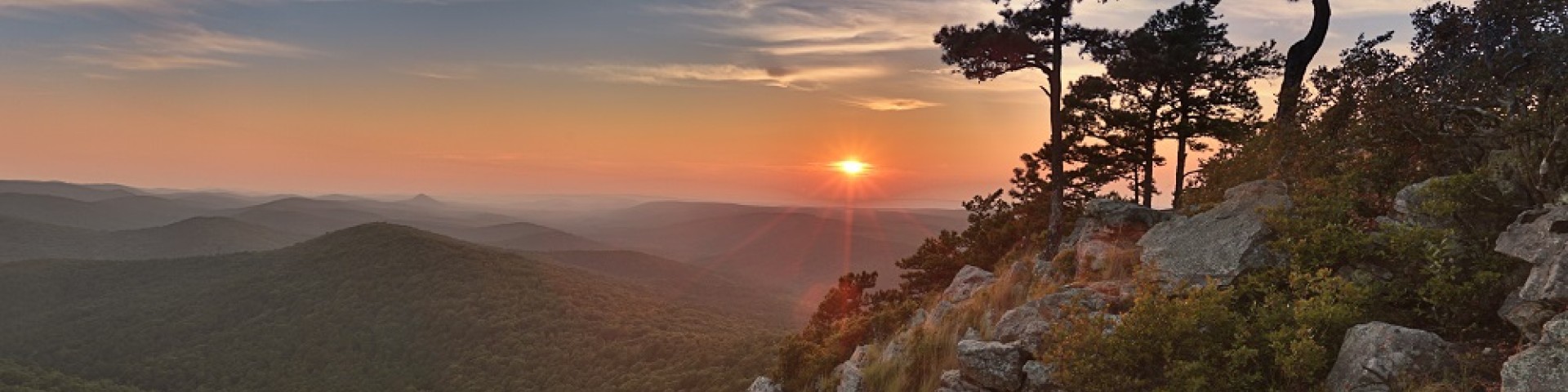
Welcome to Ouachita National Forest
Located in both Arkansas and Oklahoma, the Ouachita National Forest is home to rolling hills, pristine lakes, geological wonders and a vast array of adventures at every turn! Whether you want a challenge or a retreat, a vista or a valley, the Ouachitas have something for everyone!
Recreation
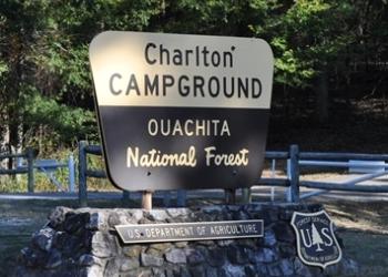
A variety of developed and dispersed recreation opportunities await you on the forest. Hiking, horseback riding, mountain biking, boating, camping, picnicking, swimming, hunting, fishing, four-wheeler riding and taking pictures are just some of the activities people enjoy while visiting the forests.
Be Prepared

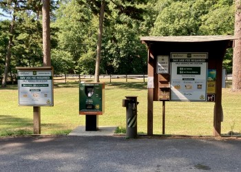
Before embarking on your outdoor adventure, be prepared with maps available in several formats: Interactive, downloadable, and geo-referenced.
Fire
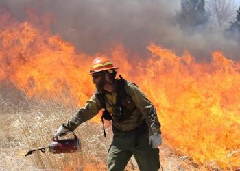
The forest conducts prescribed burns annually. The purposes of these burns are to re-establish fire’s natural role in the forest ecosystem, improve forest health, and reduce the threat of catastrophic wildfires.
Timber Sales
The Ouachita National Forest maintains an active timber sale program. Timber sales improve overall forest health, reduce fuels loads to limit catastrophic wildfire and improve wildlife habitat. It is our goal to provide an annual even flow of wood products to our customers.
Forest Orders
Find information on prohibitions, long term closures, and other alerts pertaining to Ouachita National Forest.