
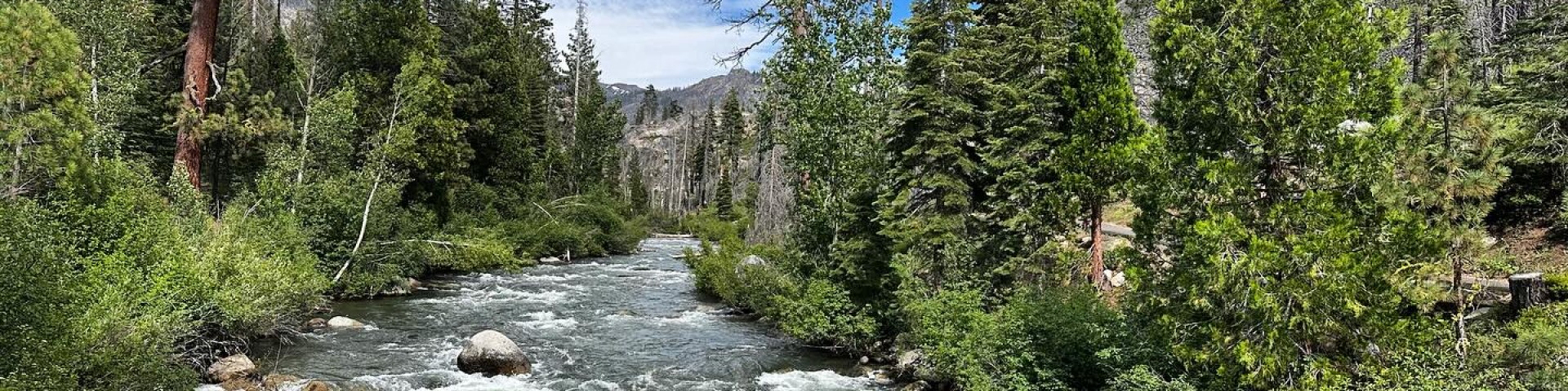
Adventure awaits on the Stanislaus National Forest
Established in 1897, the Stanislaus National Forest is one of the oldest forests in the National Forest System. Located in California's breath-taking Central Sierras with 78 lakes, 811 miles of streams and rivers, and more than 1,000 miles of hiking trails, the 898,000 acre Stanislaus National Forest is the perfect destination for whatever your next adventure may be! Hiking, biking, fishing or camping, the Stanislaus has something for you.
Are You Smoke Ready?
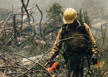
While there may be good fire, there is no good smoke. Make sure you're ready when the smoke comes.
Fuels Reduction Across the Landscape
Primarily focused along California’s Highway 108, the Stanislaus Landscape’s 305,000-acre planning area is a mix of federal, state, and private land with plans to treat up to 120,000 acres of national forest.
View Our Photo Library
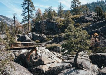
Our Public Affairs staff is regularly in the field collecting images of all the work done on the forest and the incredible landscape we call home.


