
Welcome to Angeles National Forest
Visit Us
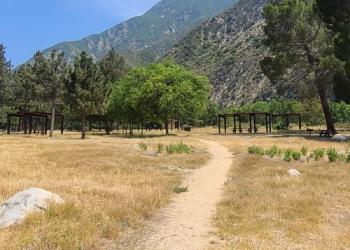
The Angeles National Forest is an urban national forest in the center of an ever-changing population and provides a place for surrounding communities to experience solitude, quiet, and enjoy unique recreation opportunities.
Fire Management
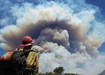
Our mission is to provide safe, efficient, and economical fire management while sustaining, protecting and restoring ecosystems.
For Special Use Permittees Only: Project Activity Levels (PALs) is a decision support tool designed to establish the level of industrial precaution in the forest for the following day in order to reduce the risk of wildfires. If your special use permit requires you to obtain PALs info, call (661) 723-2752.
Recreate Responsibly

National forests and grasslands are ours to enjoy now. However, we want them to be enjoyed for future generations as well. So is it up to all of us to care of these places. This means we can all enjoy the recreational activities of our choosing but must do so responsibly.