
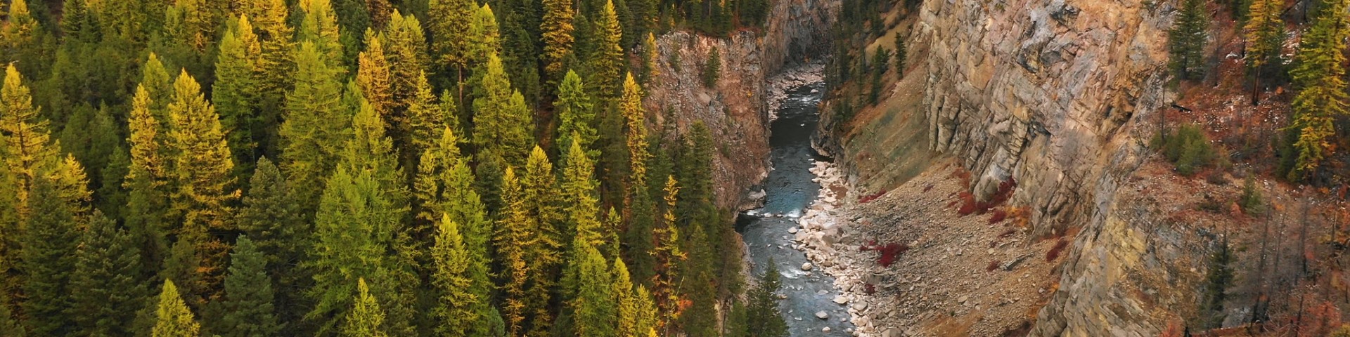
Visitor Maps and Guides
You can drop by one of our local offices to purchase or pick up free hardcopy maps. Some maps are available for purchase or viewing online, and some maps are available through the Avenza application for free or purchase.
Click on the various headings below for more information about our maps.
Get NF maps on your smartphone or tablet!

Get started using the Avenza Application to download and purchase Flathead National Forest maps on your mobile device
Interactive Visitor Map

Use the interactive map to locate roads, campgrounds, and other recreation sites on your favorite national forest or grassland.
Flathead National Forest Maps

Quadrangle maps are available for purchase at select district offices. You may also purchase maps online at USGS Maps Online.

You can stop into one of our district offices to purchase a copy of these maps.
Click here to purchase a digital version for use with the mobile Avenza Application.
Find Forest Visitor Maps from across the nation with the USGS interactive Map Finder.
Available FNF Visitor Maps:
- Flathead National Forest North Half
- Flathead National Forest South Half

You can stop into one of our district offices to purchase a copy of these maps. Click here to purchase a digital version for use with the mobile Avenza Application.
Available FNF Ranger District Maps:
- Glacier View Ranger District
- Hungry Horse Ranger District
- Spotted Bear Ranger District
- Swan Lake Ranger District
- Tally Lake Ranger District

The designations shown on these maps are effective as of the date stamped or printed on the front cover. These maps show National Forest System roads, National Forest System trails, and the areas on the National Forest System lands that are designated for motor vehicle use pursuant to 36 CFR 212.51.
You can stop into one of our district offices to pick up a free copy of these maps. Click here to download a digital version for use with the mobile Avenza Application.
Click on the FNF district below to download a pdf of the map:

These maps show National Forest System roads, National Forest System trails, and areas on National Forest System lands where use by over-snow vehicles is allowed, restricted, or prohibited pursuant to 36 CFR 212.81.
You can stop into one of our district offices to pick up a free copy of these maps. Click here to download a digital version for use with the mobile Avenza Application.
Click on the FNF district below to download a pdf of the map:
- Glacier View Ranger District
- Hungry Horse & Spotted Bear Ranger District
- Swan Lake (North) Ranger District
- Swan Lake (South) District
- Tally Lake Ranger District
A pdf copy of the 2017 Flathead Area Groomed Snowmobile is also available for download here.

To obtain a Bob Marshall Wilderness Complex or Mission Mountains Tribal Wildernesses map, you can stop into one of our district offices to purchase a copy.
Click here to purchase a digital version for use with the mobile Avenza Application.

To obtain a Jewel Basin Hiking Area map, you can stop into one of our district offices to purchase a copy.
Click here to purchase a digital version for use with the mobile Avenza Application.
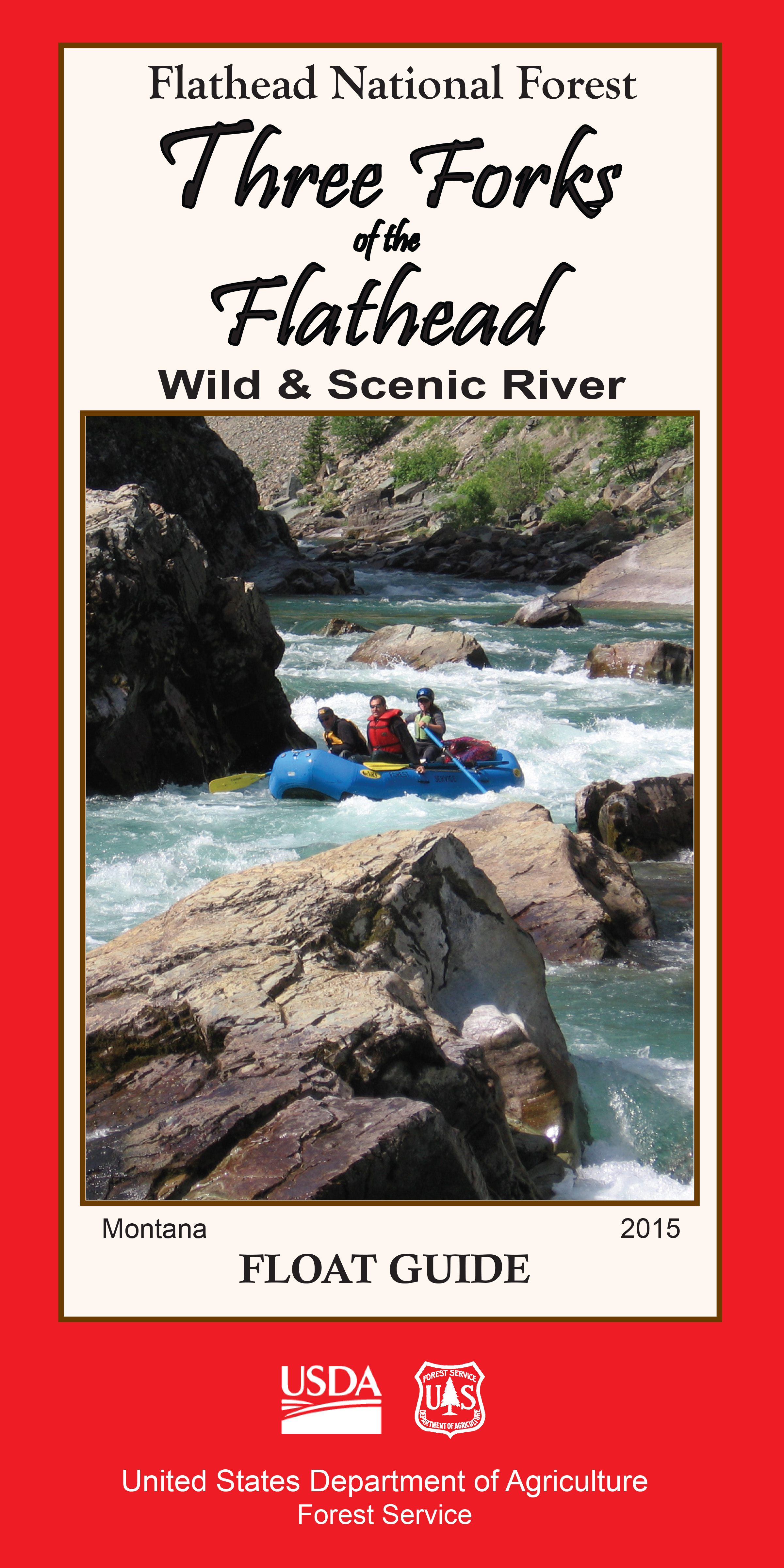
To obtain a Three Forks of the Flathead Wild & Scenic Float guide, you can stop into one of our district offices to purchase a copy or search online for a local retailer.