
Welcome to Six Rivers National Forest
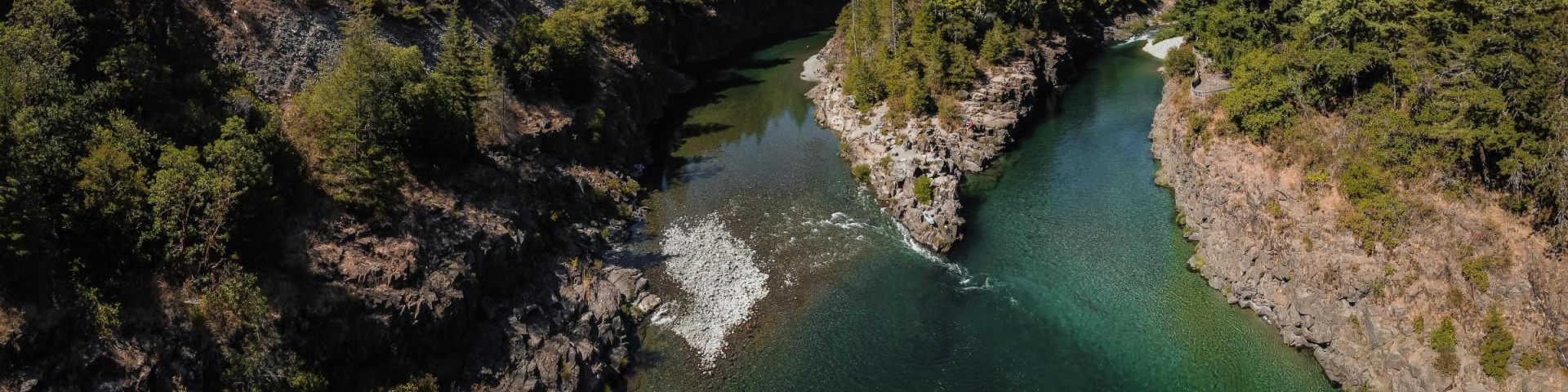
Stretching in a narrow 140-mile band from the Oregon border south, our namesake major rivers include: Smith, Klamath, Trinity, Eel, Van Duzen, and Mad. The landscape is composed of extensive stands of conifers in a rugged mountain setting.
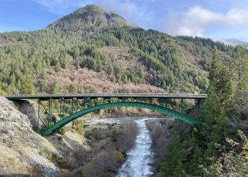
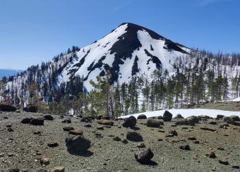
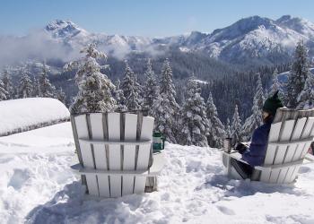
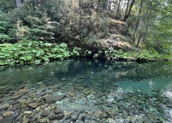
The forest offers outstanding water recreation and uncrowded backcountry in a rugged mountain setting; elevations range from sea level to just under 7,000 feet. River fishing for trout, steelhead, and salmon is popular; opportunities for canoeing, rafting, kayaking, and swimming are abundant. The forest also includes 2500 miles of roads, 250 miles of trails, three national scenic byways, six botanical areas, four wildernesses, 365 miles of wild and scenic rivers, several lakes, outstanding 1930s Civilian Conservation Corps architecture, historic mining and logging, nationally-recognized Passport-in-Time projects, sixteen family campgrounds, numerous rustic camps, and historic Bear Basin Butte Lookout and Pierson Rental Cabin.


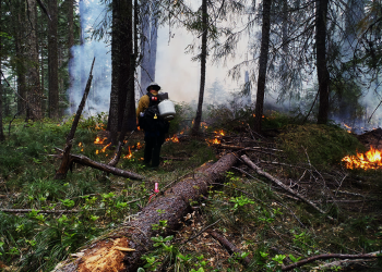

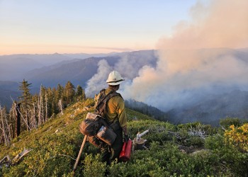
Current Conditions

Be well informed and prepared for your next visit to the forest.
Offices

To facilitate management, the forest is divided into four ranger districts: Gasquet, Orleans/Ukonom, Lower Trinity, and Mad River.
Maps and Publications
The US Forest Service provides several types of publications and maps to the public. These materials are available in many forms: brochures, maps, and Recreational Opportunity Guides on subjects such as recreation, sightseeing, wilderness, travel management, and vegetation.
Work With Us
We offer a variety of employment opportunities (both paid and unpaid) ranging from student programs to volunteer programs, and full time employment for individuals with skills in several hundred areas.
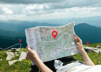
Go for a Drive
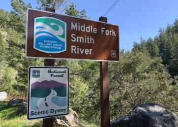
Take a cruise along one of our National Forest Scenic Byways. Well-maintained highways allow easy passage and create a network of discovery.
School and Events

Six Rivers National Forest is offering a wide variety of educational experiences and outreach opportunities to nearby communities. Our Forest staff and Smokey Bear are available for a visit to your learning site or event.
