

Beaver Point Day Use Area
This site is a pull off with a picnic table located along the Selway River.
Reservations
General Information
No fees.
Contact Name: West Fork Ranger District
Contact Phone: 406-821-3269
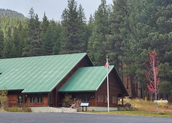
Address: 6735 West Fork Road Darby, MT 59829
Phone: 406-821-3269
Hours: Monday-Friday, 8:00 a.m. - 4:30 p.m. (Closed on federal holidays)
Getting There
Latitude / Longitude
Latitude: 45.747857
Longitude: -114.770375
Elevation
3650'
Directions
From Darby, MT travel south 4.3 miles on Highway 93, turn south on the West Fork Road and procede for approximately 14.3 miles. Turn west (right) on Forest Road 468, Nez Perce Road and travel for approximately 36 miles (Nez Perce Rd becomes Magruder Corridor.) to the day use area.
Parking
Small parking area for up to 2 vehicles
Facility and Amenity Information
Restrooms
Restrooms are not available at this site.
No restroom at this site.
Water
Potable water is not available at this site.
Picnic Tables
Picnic tables are available at this site.
One picnic table