
St. Charles Trail #1326
St. Charles Trail #1326 is 9.2-mile, difficult trail and is open to hiking, horse riding, mountain biking and motorcycle use only. ATVs are not permitted. This trail starts near the St. Charles Campground and Lake Isabel. It ends near the South Creek Trail #1321 and the Davenport Campground.


General Information
U.S. Geological Survey topo map
St. Charles Peak, CO
U.S. Geological Survey topo map
San Isabel, CO
No
This trail is open to hiking, horse riding, mountain biking and motorcycle use only. ATVs are not permitted.
Contact Name: San Carlos Ranger District Office
Contact Phone: 719-269-8500
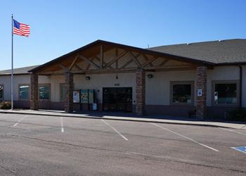
Address: 3028 East Main Street Cañon City, CO 81212
Phone: 719-269-8500
Hours: Monday-Friday, 8:00 a.m. – 4:30 p.m. (Closed on federal holidays)
Getting There
Trailhead/Starting Points
St. Charles Trailhead
Parking
Parking is available across the road from the trail start.
Directions
The northern trailhead is located off of State Highway 165 about 1 mile south of the Davenport Campground turnoff.