Stout Creek Lakes Trail #1403
Stout Creek Lakes Trail #1403 is a 4-mile (one way) trail that is difficult and very steep in some areas. The trail is accessed via the Rainbow Trail #1336. The last 1.5 miles are steep and rocky and not recommended for horses.
General Information
Stout Lakes sit above the timberline in a narrow, steep-sided cirque near the top of the Sangre de Cristo Range. Below the lakes, the creek follows waterfalls and small, narrow canyons. Fishing success is fair at these lakes.
U.S. Geological Survey topo map
Howard, CO
U.S. Geological Survey topo map
Coaldale, CO
U.S. Geological Survey topo map
Bushnell Peak, CO
No
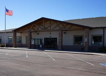
Address: 3028 East Main Street Cañon City, CO 81212
Phone: 719-269-8500
Hours: Monday-Friday, 8:00 a.m. – 4:30 p.m. (Closed on federal holidays)
Getting There
Trailhead/Starting Points
Kerr Gulch Road and Rainbow Trail #1336
Directions
From Cañon, City, CO, take U.S. Highway 50 west about 40 miles. Turn left onto Kerr Gulch Road (County Road 101A), which is 4 miles west of Hayden Creek Road or 1.5 miles east of the town of Howard; the sign for Kerr Gulch is small, so look for a cattle guard with a barbed-wire fence at the highway junction. Follow the road for about 4.5 miles to a split and proceed right to a parking area at the end of the road. Take the path to the Rainbow Trail #1336 and go south (left) a short way to the junction with the Stout Creek Lakes Trail.


