
Bachelor Loop Interpretive Tour
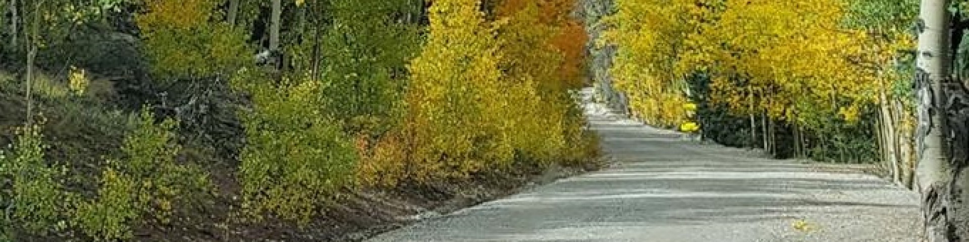
This 17-mile self-guided driving tour loops through Creede’s historic silver mining district and ghost towns. The loop begins at the north end of Main Street in Creede and returns to Main Street just south of downtown.
A high clearance vehicle is recommended. The east side of the loop has steep rocky uphill sections. The road is narrow in places and uphill traffic has the right of way. Another option for vehicles that cannot climb steeper grades is to travel the loop in reverse and brake carefully down the steeper parts, making sure to yield to uphill traffic.
There are 14 interpretive pullouts along the scenic route, including the Commodore mine site and Bachelor Townsite. The Creede Visitor Center sells an interpretive guide with information about each stop. There is additional information available online at Bachelor Historic Tour.
The Creede Visitor Center can provide current information on the Bachelor Loop conditions.
General Information
The Creede Underground Mining Museum is located just north of downtown.
The self-guided driving loop is open seasonally during the summer, until the snow flies.
During the winter, the east side of the loop (Forest Road 503) is closed to wheeled traffic. Forest Road 504 is plowed but may be impassable depending on current conditions.
Open 7 days a week from 6:00 am to 8:00 pm.
High clearance vehicles recommended. The road is steep and narrow traveling uphill on the east side of the loop.
No fees are required for this site
No fee to drive the Bachelor Loop. The interpretive guide can be purchased at the Creede Visitor Center for a small fee.
Dogs must be on leash or under voice command.
Contact Name: Divide Ranger District
Contact Phone: 719-657-3321

Address: 13308 West US Hwy 160 Del Norte, CO 81132
Phone: (719) 657-3321
Hours: Monday through Friday / 9:00 to 3:30 (Closed on federal holidays)
Getting There
Latitude / Longitude
Latitude: 37.86460307
Longitude: -106.9254334
Elevation
10600
Directions
From downtown Creede, travel north on Main Street until it turns into Forest Road 503. Follow 503 about 8 miles up to the Equity Mine. From Equity Mine, return to the junction of Forest Road 503 and 504, and take Forest Road 504 back to the town of Creede.
Travel Considerations
Two-wheel drive vehicle may have trouble going uphill on some of the steeper sections. Consider driving the loop in reverse, beginning on the west side of the loop and going downhill on the steeper sections.
Facility and Amenity Information
Water
Potable water is not available at this site.