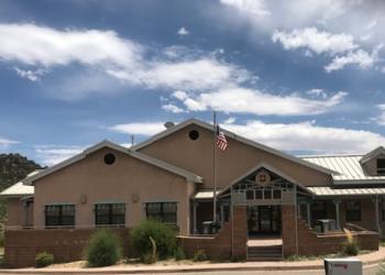
Tramway Trailhead and Trail 82
Tramway Trailhead gives access to Tramway Trail 82 (southern terminous). It is located on Sandia Peak Tram property.
Tramway Trail 82 is 2.6 miles long. It begins at the base of the Sandia Peak Tram, runs north and intersects with La Luz Trail 137, creating a connection between the La Luz Trail and the Tram parking area.
Along the way, you will pass Rozamiento Trail 208 and La Cueva Trail 83. Keep moving north.
Toward the end of your hike:
- If you follow Tramway Trail 82 to the end, you will end your hike in Juan Tabo Picnic area.
- If you choose to take La Luz Trail 137, at the junction of 82 and 137 you will end your hike in the La Luz Trailhead parking area.
- If you follow Tramway Trail 82 and choose to drop down onto the La Cueva Trail 83, you will end your hike in La Cueva Picnic area.
Please consult a map, to choose your route, to insure that you end up in the correct parking area.
Please refer to the Sandia Mountain Trails map to plan your course.
- Cell phone coverage is not guaranteed.
- It is the recreationist’s responsibility to use a map.
- Trail(s) open for the following uses: Hiking and Horseback Riding
General Information
Open year round
New Mexico Enchantment Pass and interagency pass types are accepted at La Cueva Trailhead.
There is a $2.00 parking fee at the trailhead entry point - please pay at the guard shack. The parking area is in the Sandia Peak Tramway parking lot.
- If you enter Tramway Trail 82 by way of La Cueva Trailhead, there is an amenity fee required
Address: 11776 Hwy. 337, Tijeras, NM 87059
Phone: 505-281-3304
Hours: M-F: 8:00 a.m. - 4:30 p.m. (Closed on federal holidays)
Getting There
Latitude / Longitude
Latitude: 35.19179659
Longitude: -106.47925208
Directions
To get to the trailhead for the Tramway Trail 82, take Tramway Blvd to Tramway Road turn east toward the mountain, and follow the signs to the lower tram. Pay the parking fee at the guard shack. The trailhead is located at the northeast corner of the upper parking area.
Facility and Amenity Information
Restrooms
Restrooms are available at this site.
Water
Potable water is not available at this site.


