

Grasshopper Point Swimming & Picnic Area
Nestled in the base of Oak Creek Canyon is a large cliff side swimming hole known as Grasshopper Point. This day-use site is popular with swimmers and picnickers alike. The swimming hole is shaded and cool, a good respite from the summer heat.
There are three popular trails accessible from the Grasshopper Point parking lot: Allen's Bend goes north and connects with Casner Canyon Trail. Allen's Bend also goes south and connects with Huckaby Trail.


General Information
- April 1 - October 31
- 8 a.m. to 6 p.m.
- Exit gate is open until dusk
- November 1 - March 31
- 9 a.m. to 6 p.m.
- Exit gate is open until dusk
Visitors can either use a Coconino Pass for entrance or pay the daily rate at the gate.
- No camping or campfires are permitted.
- No pets are permitted.
- No glass containers are permitted.
- Follow Leave No Trace practices to help keep the area beautiful!
Caution: Cliff jumping and diving are discouraged for personal safety. The pool has varying depths, hidden rocks and unforeseen objects that could be hazardous.
If a visitor does not have a valid pass, an entrance fee is required. Cash, checks and credit cards are accepted.
- Day Use: $15 per vehicle, per day (up to 5 people)
- Walk-ins, bicycle, extra person: $4 per person
Contact Name: Coconino Hospitality
Contact Phone: 928-203-0624
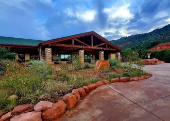
Address: 8375 State Route 179, Sedona, AZ 86351
Phone: 928-203-2900
Hours: Wednesday 12 p.m.-4:30 p.m. All other days, open 9 a.m.-4:30 p.m. Closed Thanksgiving, Christmas and New Year's Day.
Office Email: SM.FS.Cof_Webmail@usda.gov
Getting There
Latitude / Longitude
Latitude: 34.88737
Longitude: -111.73159
Elevation
4,366 ft.
Directions
Location: About 2 miles north of Sedona on a paved road in scenic Oak Creek Canyon.
GPS (Map): 34°53'16.3"N 111°43'56.8"W
Access: From the "Y" intersection of state Route 89A and Highway 179 in Sedona, drive north on state Route 89A for about 2.5 miles and turn right when you see signs for Grasshopper Point. All roads are paved.
Travel Considerations
NOTE: If traveling from Flagstaff and coming south on state Route 89A, be aware that there is no left turn into Grasshopper Point from SR89A. You will need to go down to Midgley Bridge (about 0.6 miles) to turn around and come north on SR89A to make a right turn into Grasshopper Point.
Facility and Amenity Information
Restrooms
Restrooms are available at this site.
Water
Potable water is not available at this site.
Picnic Tables
Picnic tables are available at this site.
Recreation Opportunities
Swimming Info
Caution: Cliff jumping and diving are discouraged for personal safety. The pool has varying depths, hidden rocks and unforeseen objects that could be hazardous.