
Knoll Lake
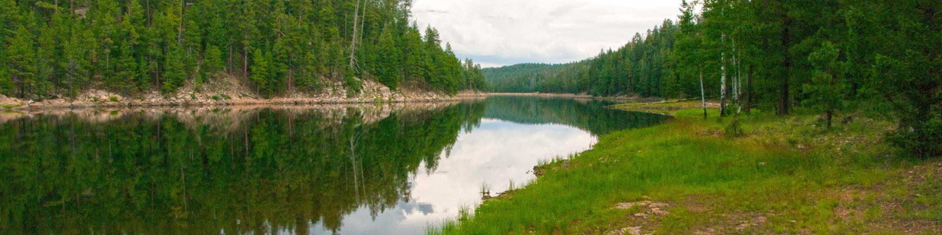
This secluded forest lake attracts visitors for a number of reasons. Surrounded by Ponderosa pines, with a picturesque island in its middle, Knoll Lake provides a scenic setting in which to enjoy your canoe or other small boat. Fishing is good here too, offering rainbow trout stocked by the Arizona Game & Fish Department.
If the fish aren't biting, you'll definitely want to take a tour of the nearby Mogollon Rim. This two thousand foot escarpment marks the southern edge of the Colorado Plateau and drops from cool highlands to low deserts in a picturesque, stomach wrenching plunge.
The lake covers approximately 75 acres and is about 50 feet deep.
General Information
Attractions: Fishing, boating, hiking, sightseeing, wildlife viewing, photography
Campground Season: Mid-May to mid-September. See also Knoll Lake Campground for additional information.
Facilities: Campground, boat ramp, hiking trails nearby
Helpful Links:
Open year-round, but keep in mind during the winter months there may be seasonal road closures of roads that lead to Knoll Lake. Contact the Mogollon Rim Ranger Station for more information.
- Only boats with single electric motors are permitted. See Arizona Game & Fish Department Watercraft Rules and Regulations for additional information.
- Fire Restrictions may be in place, so make sure to call the Fire Restrictions Hotline at 928-226-4607 prior to creating a campfire.
Contact Name: Mogollon Rim Ranger Station
Contact Phone: 928-477-2255

Address: 8738 Ranger Road, Happy Jack, AZ 86024
Phone: 928-477-2255
Hours: Monday-Friday, 7 a.m. - 3:30 p.m. (Closed on federal holidays)
Office Email: SM.FS.Cof_Webmail@usda.gov
Getting There
Latitude / Longitude
Latitude: 34.4314
Longitude: -111.0861
Elevation
7,300 ft.
Directions
Location: 108 miles southeast of Flagstaff on paved and graveled Forest Roads.
GPS (Map): 34°25'53.4"N 111°05'09.8"W
Access: From Flagstaff take Lake Mary Road south 55 miles to Clints Well. Turn left (north east) on State Route 87, go 10 miles to Forest Road 95 which is just past the Mogollon Rim Ranger Station. Turn right and go 6 miles to FR 96 veering left and travel 2 miles to FR 321. Turn right on FR 321 and drive 10 miles to FR 300. Turn left (east) and go 4 miles to FR 295E. Turn left on FR 295E and drive about 3.2 miles to FR 295E on your right. Take FR 295E another 1.2 miles till you reach the boat ramp.
Facility and Amenity Information
Restrooms
Restrooms are not available at this site.
Water
Potable water is not available at this site.