
Fay Canyon Trail No. 53
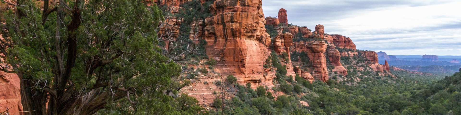
Fay Canyon is a favorite hike for many who prefer a shorter hike with minimal elevation gain or who enjoy the grandeur of red sandstone walls towering overhead.
This small, hidden canyon supports a diverse community of desert plants and provides good views of the surrounding cliffs. It dead ends at a red Supai sandstone cliff. Throughout Fay Canyon you can marvel at the breathtaking scenery that surrounds you. Be aware that this trail can be hot and dry in summer, so plan accordingly.
Photo Gallery


Specific Trail Information
Trail Number
Trail Type
General Information
- Difficulty: Easy.
- Trailhead Elevation: 4,590 ft.
- Elevation Gain: 144 ft.
- Length: 2.1 miles roundtrip.
- Time: 1 hour roundtrip.
No mechanized vehicles (including mountain bikes) in Wilderness.

Address: 8375 State Route 179, Sedona, AZ 86351
Phone: 928-203-2900
Hours: Wednesday 12 p.m.-4:30 p.m. All other days, open 9 a.m.-4:30 p.m.
Office Email: SM.FS.Cof_Webmail@usda.gov
Getting There
Directions
Location: 33 miles south of Flagstaff (2.5 miles west of Sedona) in scenic Red Rock Country on roads that are paved.
Access: Drive 27 miles south from Flagstaff to Sedona on state Route 89A. Continue through Sedona to Dry Creek Road (152C) at the west end of town. Turn north three miles to the Boynton Canyon intersection then left about a half mile to the Fay Canyon parking area on the left. Cross the street to the trailhead.
GPS (Map): 34°54'06.9"N 111°51'28.5"W