
Mescal Trail No. 174C
The Mescal Trail is a popular hiking and mountain biking trail known for its beautiful red rock scenery, moderate difficulty, and well-marked paths. The trail is often combined with other trails like Chuckwagon, Aerie, and Devil's Bridge to create longer loops. The trail provides red rock formations, desert scenery, wildflowers (in spring), and opportunities for some beautiful scenery. The trailhead is located on Long Canyon Road, and parking can be limited, especially on weekends, so consider the free Sedona Shuttle, which provides service to specific trailheads Thursday through Sunday.
The trail can be exposed to the sun, so it's important to bring water and sun protection. Be aware of other trail users, including mountain bikers, especially on shared trails.
Specific Trail Information
Trail Number
Trail Type
General Information
- Difficulty: Moderate with some rocky and uneven terrain.
- Trailhead Elevation: 4,500 ft.
- Elevation Gain: 200 ft.
- Length: 2.6 miles one way.
- Time: 2 hours.
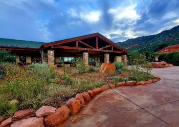
Address: 8375 State Route 179, Sedona, AZ 86351
Phone: 928-203-2900
Hours: Wednesday 12 p.m.-4:30 p.m. All other days, open 9 a.m.-4:30 p.m.
Office Email: SM.FS.Cof_Webmail@usda.gov
Getting There
Parking
Consider the free Sedona Shuttle, which provides service to specific trailheads Thursday through Sunday.
Directions
Location: 6.3 miles northwest of downtown Sedona near Boynton Canyon.
Access: From the 'Y' junction of state Routes 89A and 179 in Sedona, drive west on SR 89A for 3.2 miles to Dry Creek Road on your right. Head north on Dry Creek Road for 3 miles and take a right on Long Canyon Road. The trailhead and a parking area is just down Long Canyon Road about 0.2 miles on your right.
GPS (Map): 34°54'06.0"N 111°49'37.1"W