
Deer Springs Trail to Suicide Rock 3E32 to 3E33
The Deer Springs Trail begins on Hwy 243 one mile north of Idyllwild. The first 2.3 mile section is to a junction, take the cutoff trail to the right 1 mile to the top of Suicide Rock with panoramic views of Strawberry Valley and Idyllwild. This route starts in oak trees at 5,600 feet, ascending to 7,528 feet in the pines on top of Suicide Rock. Back at the junction of Deer Springs Trail and Suicide Trail, the trail to the left continues to San Jacinto Peak.
Dogs are not allowed on this trail because it enters State Park Wilderness.
Santa Rosa & San Jacinto Mountains National Monument website

Specific Trail Information
Trail Number
Trail Type
General Information
None
Wilderness Permits are required. Permits are available at the Idyllwild Forest Service Ranger Station at the kiosk desk 24 hrs. You can also contact Mt. San Jacinto State Park for permits at 951-659-2607. Permits are free.
No
- Group size is limited to 12 people.
- No campfires allowed. Portable gas stoves are allowed.
- Camp on a durable surface at least 200 feet away from other people, trails, meadows, and water sources.
- Dogs are prohibited in the State Park Wilderness
Pack out what you pack in and Leave No Trace!
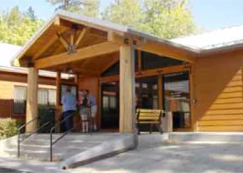
Address: P.O. Box 518 Idyllwild, CA 92549
Phone: (909) 382-2921
Hours: Thursday through Monday from 8:00 am to 4:00 pm; Closed for lunch 12:00 pm - 1:00 pm
Getting There
Directions
The Deer Springs Trail begins on Hwy 243 one mile north of Idyllwild.
Latitude 33.7898832
Longitude -116.7314665
Elevation 5600 - 7528
Distance .75 miles
Difficulty Easy
Additional Information
Operated By
USDA Forest Service