
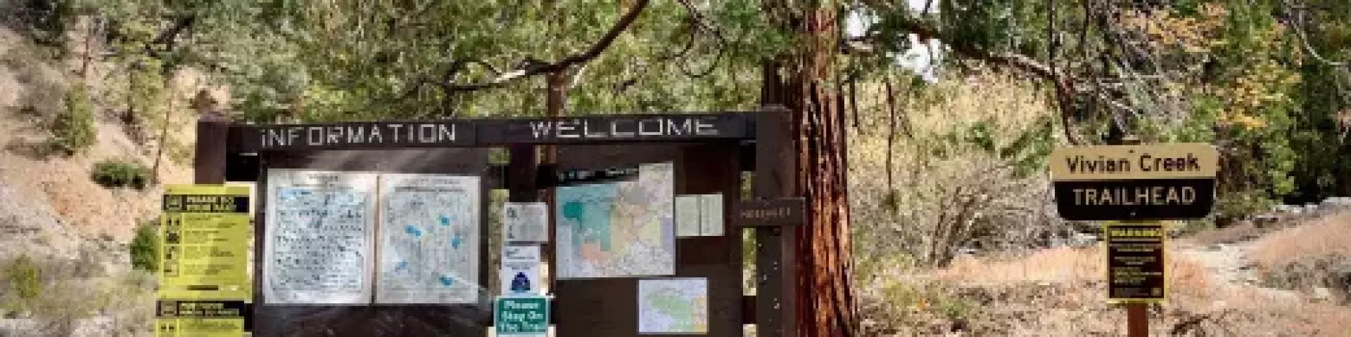
Vivian Creek Trail 1E08
The Vivian Creek Trail is the shortest and the steepest route to the summit of Mt. San Gorgonio, located in the San Gorgonio Wilderness Area. There are three designated wilderness campsites on this trail: Vivian Creek Camp at 7,100' (no camping within 200 feet of the trail or creek), Halfway Camp at 8,100' (water is obtained from the creek 200 yards before camp), and High Creek Camp at 9,200' (water flows the best in this creek right below the camp).
The summit of San Gorgonio (11,499') is 3 miles beyond High Creek, which you can also camp at. The upper end of this trail offers outstanding views of Yucaipa Ridge and Galena Peak, as well as sweeping panoramic views from the top of Mt. San Gorgonio.


Specific Trail Information
Trail Number
Trail Type
General Information
Recreation Passes Honored: Adventure Passes, Digital Recreation Pass or Interagency Recreation Passes.
- You can purchase your Recreation Passes at FS Offices and select Vendor Locations. Please call ahead for pass availability.
- Wilderness permits are required. Permits can be obtained online at San Gorgonio Wilderness Association (SGWA) permits webpage.
- No in-person permits available at Ranger Station MUST obtain via online.
- No wood fires, charcoal BBQs or charcoal stove allowed outside agency provided fire-rings.
- No ground fires or building of rock-fire-rings permitted anywhere on Southern CA Forests!
- The use of propane or gas appliances allowed with a valid California Campfire Permit.
- Dogs MUST be on a leash not longer than six feet, or otherwise under physical restrictive control [36 CFR 261.16(j)]. Read more info about pet ethics.
Pack out what you pack in and Leave No Trace!
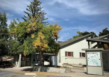
Address: 34701 Mill Creek Road Mentone, CA 92359
Phone: (909) 382-2882
Hours: Saturday-Sunday 9:00 am to 4:00 pm (Closed on federal holidays)
Getting There
Trailhead/Starting Points
The trailhead is reached by turning east off Highway 38 to Forest Falls.
Directions
Latitude 34.08194444
Longitude -116.8897222
Elevation 6003-11503
Distance 8.7 miles
Difficulty Difficult/Strenuous
Additional Information
Operated By
USDA Forest Service