
Summit Lake Trail 1177
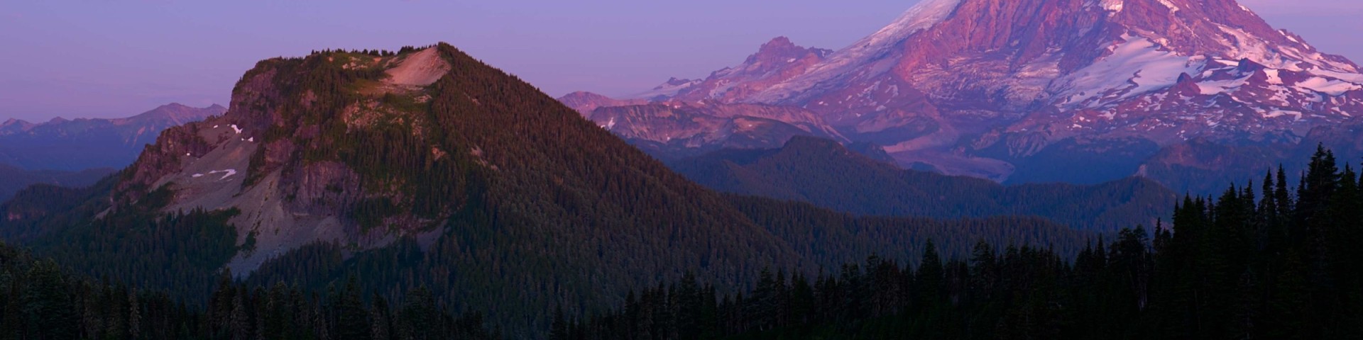
This trail takes you to the shores of Summit Lake, a wide, cold and crystal clear alpine lake at 5,400 feet. On calm days the lake has a mirror-like surface reflecting Mount Rainier. Wildflowers dot the shores in a variety of colors, from avalanche and glacier lilies to phlox and paintbrushes.
Start your hike in a harvested area; walk through switchbacks and into old growth forest. Enter the Clearwater Wilderness at mile .7. At one mile come to the junction with Carbon Trail 1179 near Twin Lakes. Continue on and you’ll reach Summit Lake at mile 2.5.
Active Alerts
Specific Trail Information
Trail Number
Trail Type
General Information
A valid Recreation Pass required at Summit Lake Trailhead.
Wilderness regulations apply within Clearwater Wilderness. Dogs must be on a leash. Use established rings for campfires. Campfires are prohibited within 0.25 mile of Summit Lake because of the scarce firewood and the damage done to trees from chopping.
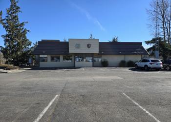
Address: 450 Roosevelt Ave. E. Enumclaw, WA 98022
Phone: (360) 825 - 6585
Hours: This U.S. Department of Agriculture office is currently closed due to the lapse in Federal Government funding. The office will reopen once Congress restores funding. (Closed on federal holidays)
Getting There
Directions
From Enumclaw, drive west on State Highway 410 for 5.0 miles to the junction with State Highway 165 just west of Buckley. Continue for 10.5 miles to the junction of Carbon River Highway and Mowich Lake Highway. Turn left onto the Carbon River Highway and follow it 7.7 miles to Cayada Creek Road #7810. Cross the bridge over the river and continue 6.7 miles to end of road. The trailhead is at end of road #7810; difficult turnaround.