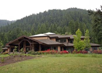
Blue Lake Trailhead
This Trailhead provides access for Blue Lake Trail.
General Information
Wilderness Self-Issue Permit required for both day use and overnight stays from June 15 through October 15. Free permits are self-issued at the trailhead.
Address: 46375 Highway 58 West Fir, OR 97492
Phone: (541) 782-2283
Hours: Monday-Friday, 10:00 a.m. - 4:30 p.m. (Closed on federal holidays)
Office Email: sm.fs.mfrd@usda.gov
Getting There
Elevation
6,000
Directions
From Oakridge, Oregon, travel east on Highway 58 for 2 miles to the Kitson Springs County Road.
Turn right and proceed on Kitson Springs County Road (becomes Forest Road 23) for approximately 24 miles to the junction of Forest Road 2149.
Turn left and follow Forest Road 2149 approximately 4 miles to the trailhead, which is located on the right.
The trail begins on east side of the road.
Facility and Amenity Information
Restrooms
Restrooms are not available at this site.
Water
Potable water is not available at this site.


