

Dee Wright Observatory
Take a trip along the southern section of the McKenzie Pass-Santiam Pass National Scenic Byway to the summit of the McKenzie Highway (242) and you will find the unusual and historic Dee Wright Observatory settled atop vast, black lava flows.
Located in the Cascade Range at 5,187 feet, this mountain observatory offers panoramic views across 65 square miles of black lava rock that looks so much like a moonscape that in 1964, NASA conducted drills with astronauts as they prepared to travel to the moon. Completed in 1935 by the Civilian Conservation Corps (CCC), the observatory was named in memory of Dee Wright, the crew’s foreman who passed away the year before.
On a clear day, you can view Mt. Washington, Mt. Jefferson, the South, North, and Middle Sister, and even see Mt. Hood, 78.5 miles to the north. If the snow has melted, don’t forget to look for the glaciers! Collier glacier on the North Sister is the largest glacier in Oregon.
As you make your way up to the observatory, you will find interpretive panels with accounts of early travelers and area geology. Continue up the stairs to the roof and you will discover a bronze peak finder with the names and elevations of the surrounding buttes and mountain peaks. Inside the observatory, openings frame the surrounding mountain peaks.
The accessible Lava River National Recreation Trail located next to the observatory provides remarkable views of lava that flowed from the surrounding craters.
Check out the photo gallery of scenes in and around Dee Wright. See it before you hike it! Use Travel Lane County’s Google-Trekked Trails to see Google's "trail view" of this trail. Click on the "trail details" for more information on the trail itself. Dee Wright Observatory / trail details
Photo Gallery


Reservations
General Information
Access is dependent on McKenzie Highway (OR Hwy 242), which is closed in the winter. Check tripcheck.com for conditions.
Within developed recreation sites, dogs must be on a leash no longer than 6 feet, or otherwise under physical restrictive control. 36 CFR 261.16(j)
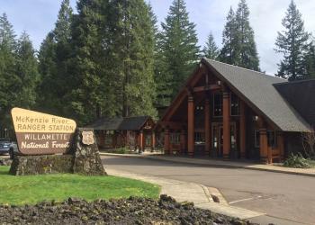
Address: 57600 McKenzie Highway McKenzie Bridge, OR 97413
Phone: (541) 822-3381
Hours: Monday-Friday, 8:00 a.m. - 4:30 p.m. (Closed on federal holidays)
Office Email: sm.fs.mf@usda.gov
Getting There
Directions
From McKenzie Bridge, OR travel east on Highway 126 for about 5 miles; turn right on Highway 242. Continue on Highway 242 for 22 miles to the Dee Wright Observatory at the top of the McKenzie Pass.
From Sisters, OR travel west on Highway 242 for 15 miles to the Dee Wright Observatory.
Facility and Amenity Information
Restrooms
Restrooms are not available at this site.
Water
Potable water is not available at this site.
Picnic Tables
Picnic tables are available at this site.
Horse/Pack Animal Information
Horse/Pack animals are not allowed at this site.