
Middle Prong Wilderness
Middle Prong Wilderness area is 7,900 acres of steep, rugged high-elevation ridges ranging from 3,200 to over 6,400 feet. The area gets its name from the Middle Prong of the Pigeon River finding whose headwaters are located in the area.
General Information
24 Hours
NOTE: This trail is in a federally designated wilderness area, which by law is managed to minimize evidence of human presence. Consequently, trails are neither signed nor blazed, and are maintained at a low level that results in their treads being difficult or impossible to see at times. An accurate map, compass, and the ability to use both are mandatory for travel in a wilderness area. Additionally, in the Shining Rock and Middle Prong Wilderness Areas, campfires are not allowed, groups may not be larger than ten people at any time, and bicycles are not allowed in the wilderness areas.
None
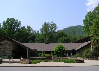
Address: 1600 Pisgah Highway Pisgah Forest , NC 28768
Phone: (828) 877-3265
Hours: Peak Season Hours (April 1-Nov. 15) 9 AM-5 PM daily; Off-season Hours (Nov. 16-March 31) 9 am-5 pm M-F (Closed on federal holidays)
Office Email: sm.fs.pisgahrd@usda.gov
Getting There
Directions
Middle Prong WA is also north of the Blue Ridge Parkway, but west of NC 215. Its southern boundary is the Blue Ridge Parkway, and it encompasses much of the district land between the Blue Ridge Parkway and the Sunburst Campground and Picnic Area.
Facility and Amenity Information
Restrooms
Restrooms are not available at this site.
Water
Potable water is not available at this site.