
St. Louis River
The St. Louis River is the largest tributary to Lake Superior and the largest tributary to the entire Great Lakes system. The upper river portion runs through the Superior National Forest and has whitewater rafting opportunities for experienced paddlers. This section flows through remote, forested, areas.
The streams and rivers of northern Minnesota are the result of glacial activity thousands of years ago. Because northern Minnesota rivers flow through bog areas, the water is often coffee-colored. This comes from the tannic acid in the bog plants.
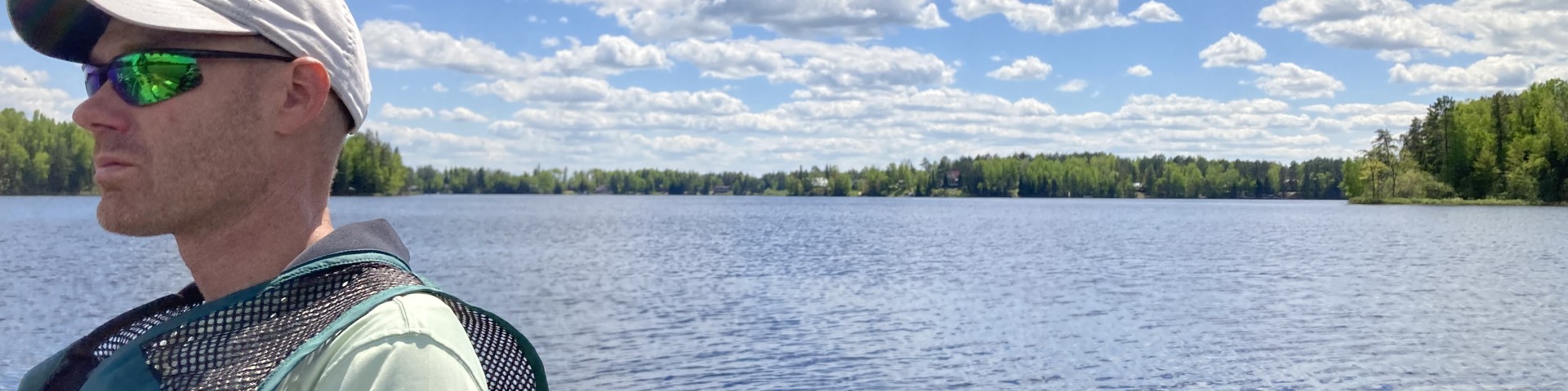
Expect to see wildlife from moose and black bears to otters and beavers as you travel down the river.
For more than 10,000 years, humans have lived in and used the natural resources of the St. Louis River. Artifacts of the Paleo Indians have been collected and preserved.
Visit the Minnesota DNR State Water Trails - St. Louis River segments and maps to plan your trip. Information provided on this page is specific to sites along the river managed by the Superior National Forest.

Seven Beavers Lake is a large, 1,414 acre lake with northern pike, walleye, yellow perch, shorthead redhorse, white sucker.
Norway Point is located on the St. Louis River and has a picnic area and boat launch.