| Collection: | Pacific Northwest Research Station, Alaska Image Archive |
| Keywords: |
forest mensuration increment development and structure of stands surveying and mapping |
| Location: | Alaska; Revillagigedo Island; Traitors Cove; Virgin Bay |
| Description: | Virgin Bay P.P. # 332, est.7-26-63. Lower Plot. Photo point: 1. |
| Date: | 7/26/1963 |
| Collection: | Pacific Northwest Research Station, Alaska Image Archive |
| Keywords: |
forest mensuration increment development and structure of stands surveying and mapping |
| Location: | Alaska; Revillagigedo Island; Traitors Cove; Virgin Bay |
| Description: | Virgin Bay P.P. # 333, established 7-26-63. Mid Plot. |
| Date: | 7/26/1963 |
| Collection: | Pacific Northwest Research Station, Alaska Image Archive |
| Keywords: |
forest mensuration increment development and structure of stands surveying and mapping |
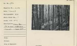
| Location: | Alaska; Revillagigedo Island; Traitors Cove; Virgin Bay |
| Description: | Virgin Bay P.P. # 334, established 7-26-63. Upper Plot. |
| Date: | 7/26/1963 |
| Collection: | Pacific Northwest Research Station, Alaska Image Archive |
| Keywords: |
regeneration and formation of stands natural regeneration |
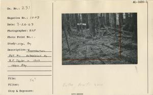
| Location: | Alaska; Revillagigedo Island; Traitors Cove; Virgin Bay |
| Description: | Reproduction Plot #1 established by R.F. Taylor in 1929. Virgin Bay. |
| Date: | 7/26/1963 |
| Collection: | Pacific Northwest Research Station, Alaska Image Archive |
| Keywords: |
forest injuries and protection injuries from inorganic agencies (excluding fire) soil conditions erosion effects erosion and deposition landslides etc |
| Location: | Alaska; Revillagigedo Island; Gedney Pass |
| Description: | Slides in granitic flow-prone soil. New slide in 1961; older slide predates logging. Slope gradient of sheer failure 41 degrees. Gedney Pass, Behm Canal. |
| Date: | 5/31/1963 |


