| Collection: | RMRS Archive Images |
| Location: | Manti |
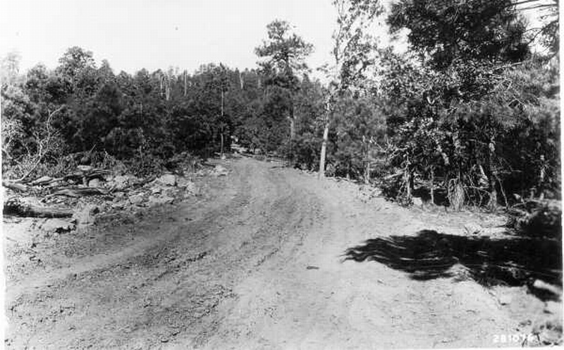
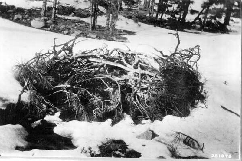
| Description: | Elk illegally killed in Manti forest and discovered by GBES party. |
| Date: | 10/20/1926 |
| Collection: | Southern Research Station Historical Documents and Images |
| Keywords: |
thinning pine oldfield |
| Organisms: | loblolly pine |
| Location: | Urania, LA; LaSalle Parish |
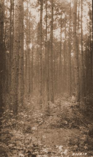
| Description: | Caption reads: "Castor thinning plot (Mt 111, Urania), loblolly pine, 31 years old, plot established in 1915 heavily thinned plot E2. Photo station 6 feet southwest of the NW corner stake of plot, man standing next to tree 70." |
| Date: | 8/10/1926 |
| Collection: | Southern Research Station Historical Documents and Images |
| Keywords: |
thinning pine oldfield |
| Organisms: | loblolly pine |
| Location: | Urania, LA; LaSalle Parish |
| Description: | Caption reads: "Castor thinning plot (Mt 111, Urania), loblolly pine, 31 years old, plot established in 1915, check plot E1, unthinned, burned over once since establishment, on June 15, 1925. Photo taken from near middle of western boundary line, looking east, photo station between trees 12 and 13." |
| Date: | 8/10/1926 |
| Collection: | Southern Research Station Historical Documents and Images |
| Keywords: |
thinning German |
| Organisms: |
loblolly pine longleaf pine |
| Location: | LaSalle Parish, Louisiana |
| Description: | Caption reads: "Second-growth loblolly pine 25 years old thinned heavily in May 1924. German grade "E" thinning Mt 111 (Urania) in Deer Pasture near Urania. Originally longleaf land which seeded into loblolly. Thinned to about 130 trees per acre which should carry the stand through maturity or 20 years from time of thinning. The slash from thinnings has almost entirely disappeared. Photo station SE corner of plot looking NW." Plot #50. |
| Date: | 8/10/1926 |
| Collection: | Southern Research Station Historical Documents and Images |
| Keywords: |
German thinning pine oldfield |
| Organisms: | shortleaf pine |
| Location: | Urania, LA; LaSalle Parish |
| Description: | Caption reads: "Mayes thinning, check plot, unthinned (Mt 113, Urania). Shortleaf pine, 41 years old, plot established in 1915, Grade "D" German thinning, rather poor site. Photo station half way between corner stakes on north side of Plot D 3, looking south." |
| Date: | 8/9/1926 |
| Collection: | RMRS Archive Images |
| Keywords: | personnel |
| Location: | Great Basin Experiment Station |
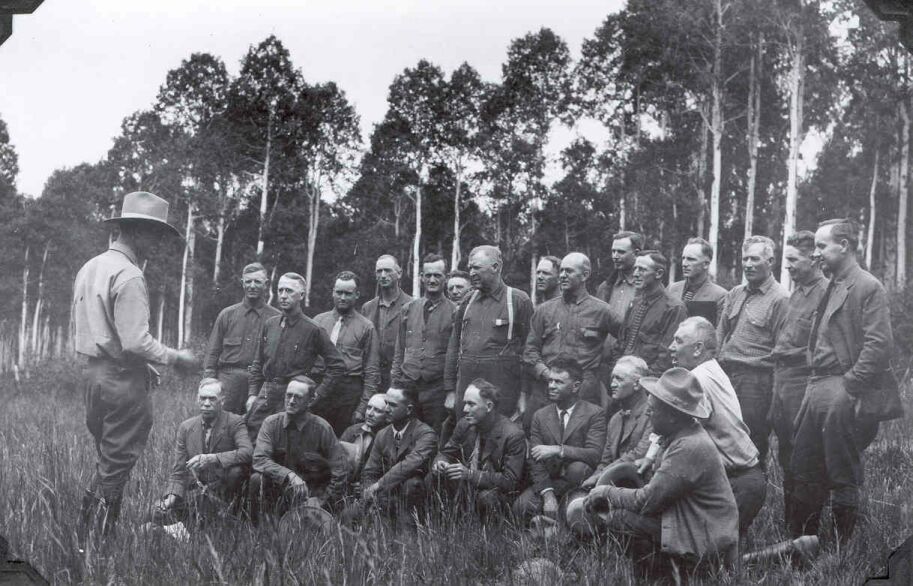
| Description: | People and Great Basin Experiment Station |
| Date: | 07/06/1926 |
| Collection: | Sierra Ancha Historical Images |
| Keywords: |
grassland landscape vehicles |
| Location: | Crook N.F.; AZ; USA |
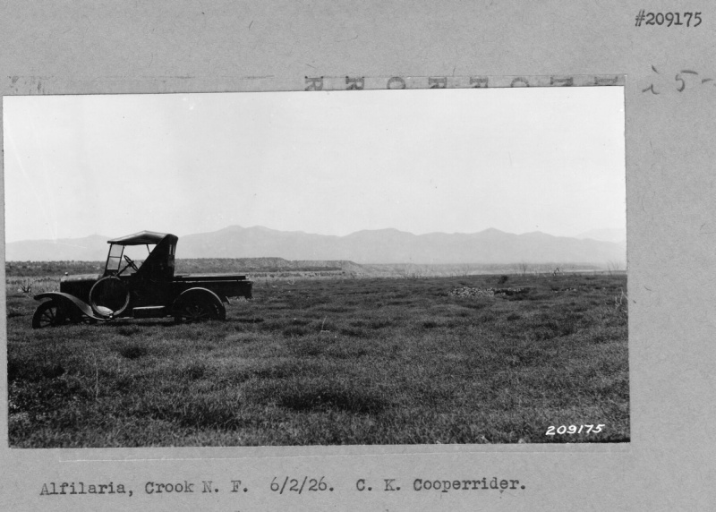
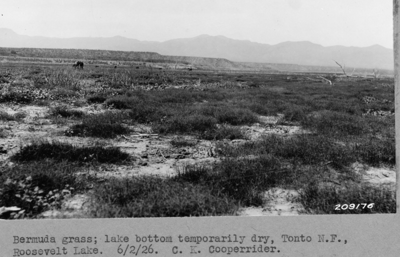
| Description: | Landscape of Grassland |
| Date: | 06/02/1926 |
| Collection: | Sierra Ancha Historical Images |
| Keywords: | landscape |
| Location: | Crook N.F.; AZ; USA |
| Description: | Landscape on Crook N.F. |
| Date: | 06/02/1926 |
| Collection: | Sierra Ancha Historical Images |
| Keywords: |
landscape mountain |
| Location: | Crook N.F.; AZ; USA |
| Description: | Landscape on Crook N.F. |
| Date: | 06/02/1926 |
| Collection: | Sierra Ancha Historical Images |
| Keywords: | browse |
| Organisms: | cypress |
| Location: | Crook N.F.; AZ; USA |
| Description: | Landscape on Crook N.F. |
| Date: | 06/02/1926 |
| Collection: | Sierra Ancha Historical Images |
| Keywords: |
mountain browse |
| Location: | Crook N.F.; AZ; USA |
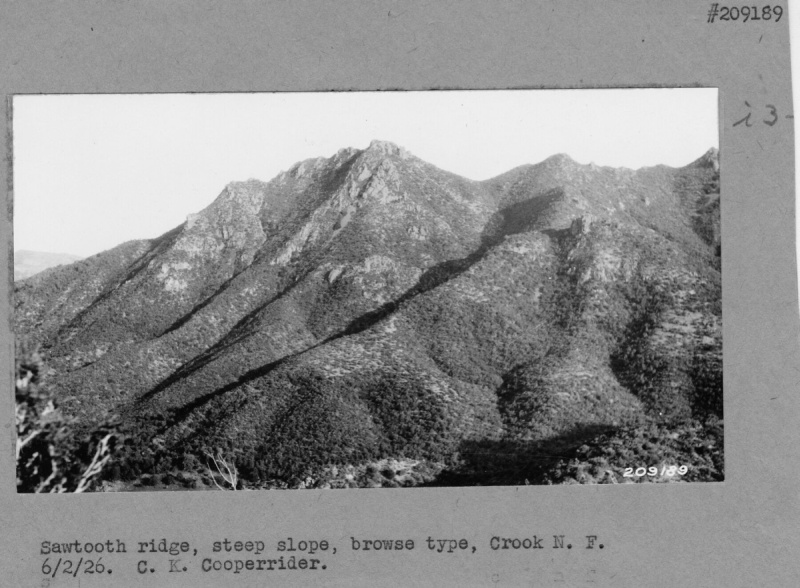
| Description: | Sawtooth ridge, steep slope |
| Date: | 06/02/1926 |
| Collection: | Sierra Ancha Historical Images |
| Keywords: | watershed |
| Location: | Sierra Ancha; USA |
| Description: | Watershed |
| Date: | 06/02/1926 |
| Collection: | Sierra Ancha Historical Images |
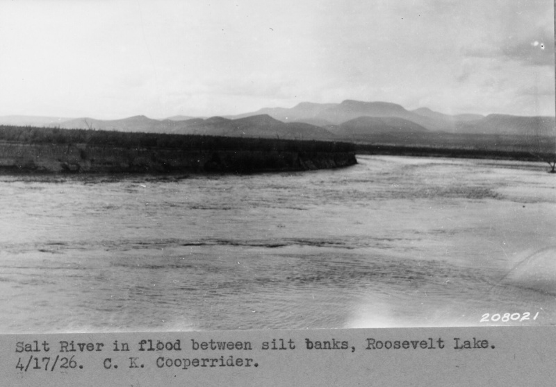
| Keywords: | flooding |
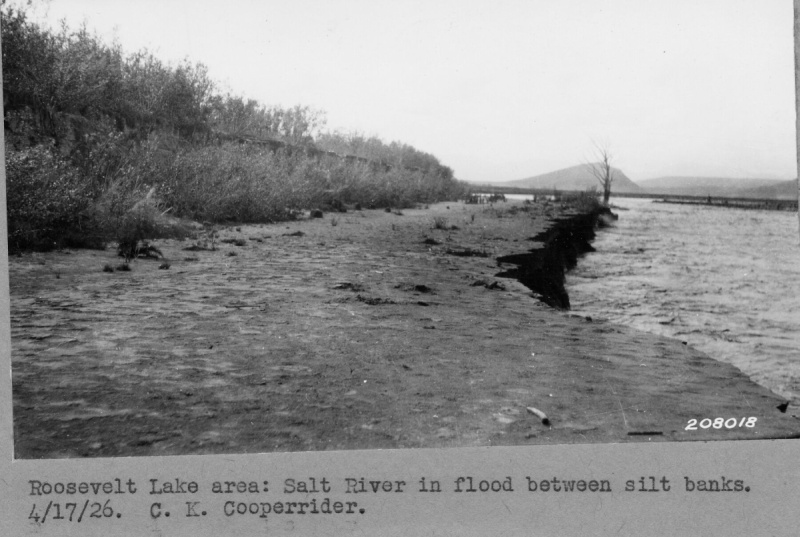
| Location: | Salt River, Tonto NF; AZ; USA |
| Description: | Watershed |
| Date: | 06/02/1926 |
| Collection: | Sierra Ancha Historical Images |
| Keywords: | range |
| Location: | Sierra Ancha; USA |
| Description: | Range |
| Date: | 06/02/1926 |
| Collection: | Sierra Ancha Historical Images |
| Keywords: | watershed |
| Location: | Sierra Ancha; USA |
| Description: | Watershed |
| Date: | 06/02/1926 |
| Collection: | Sierra Ancha Historical Images |
| Keywords: | range |
| Location: | Sierra Ancha; USA |
| Description: | Watershed |
| Date: | 06/02/1926 |
| Collection: | Sierra Ancha Historical Images |
| Keywords: | watershed structures |
| Location: | Sierra Ancha; USA |
| Description: | Watershed |
| Date: | 06/02/1926 |
| Collection: | Sierra Ancha Historical Images |
| Keywords: | watershed structures |
| Location: | Sierra Ancha; USA |
| Description: | Watershed |
| Date: | 06/02/1926 |
| Collection: | Sierra Ancha Historical Images |
| Keywords: | watershed structures |
| Location: | Sierra Ancha; USA |
| Description: | Watershed |
| Date: | 06/02/1926 |
| Collection: | Sierra Ancha Historical Images |
| Keywords: | watershed structures |
| Location: | Sierra Ancha; USA |
| Description: | Watershed |
| Date: | 06/02/1926 |
| Collection: | Sierra Ancha Historical Images |
| Keywords: | watershed structures |
| Location: | Sierra Ancha; USA |
| Description: | Watershed |
| Date: | 06/02/1926 |
| Collection: | Sierra Ancha Historical Images |
| Keywords: | buildings |
| Location: | |
| Description: | Range |
| Date: | 06/02/1926 |
| Collection: | Sierra Ancha Historical Images |
| Keywords: | forestry, general |
| Location: | Crook N.F.; USA |
| Description: | Summit Plot |
| Date: | 05/08/1926 |
| Collection: | Sierra Ancha Historical Images |
| Keywords: | landscape |
| Location: | Gila N. F.; NM; USA |
| Description: | Landscape toward Mogollon Creek |
| Date: | 04/17/1926 |
| Collection: | Sierra Ancha Historical Images |
| Keywords: | erosion |
| Location: | Gila N. F.; NM; USA |
| Description: | Erosion |
| Date: | 04/17/1926 |
| Collection: | Sierra Ancha Historical Images |
| Keywords: |
erosion landscape |
| Location: | Gila N. F.; NM; USA |
| Description: | Landscape over Woodrow Carrying Capacity pasture |
| Date: | 04/17/1926 |
| Collection: | Sierra Ancha Historical Images |
| Keywords: | grazing |
| Location: | Woodrow Pasture; NM; USA |
| Description: | Cattle grazing |
| Date: | 04/17/1926 |
| Collection: | Sierra Ancha Historical Images |
| Keywords: |
grassland landscape |
| Location: | Crook N.F.; AZ; USA |
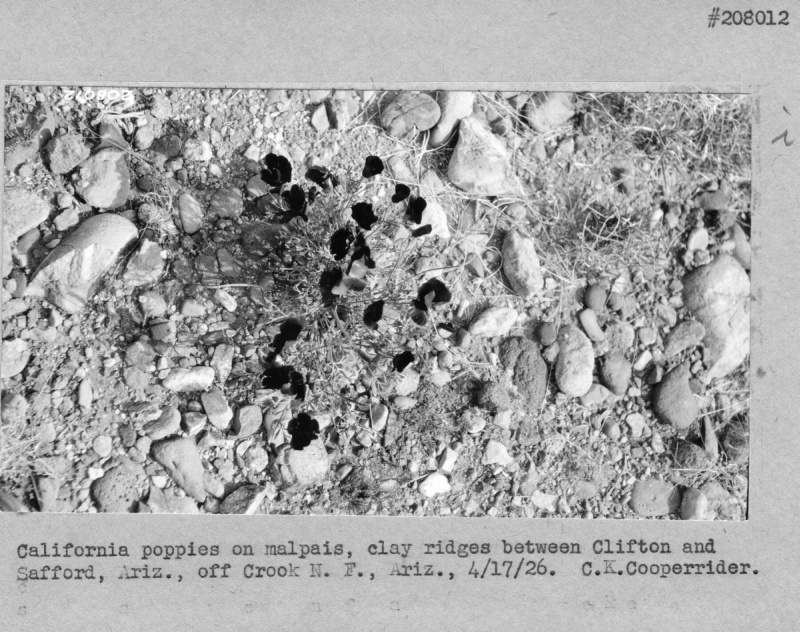
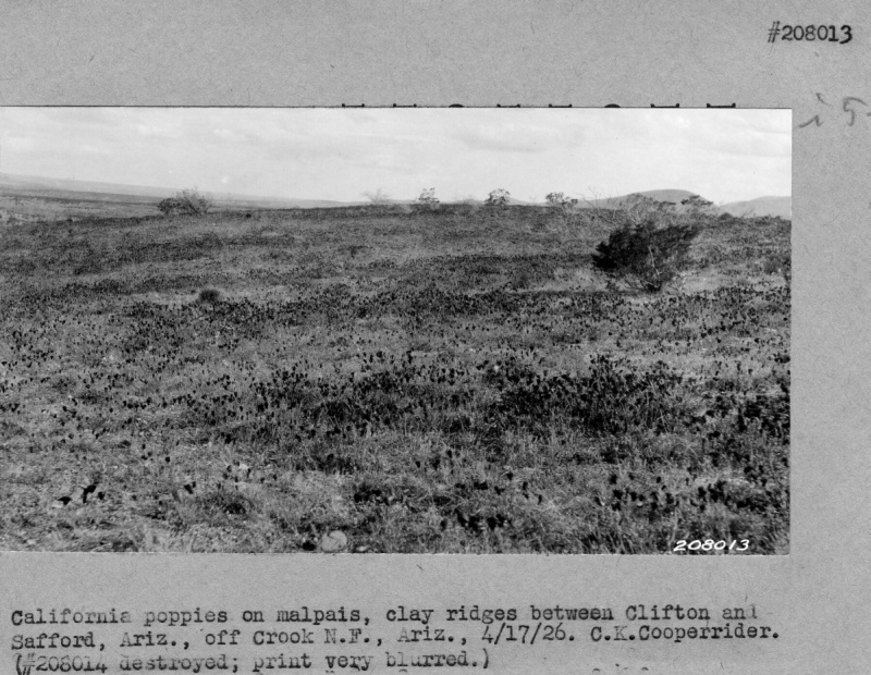
| Description: | Landscape of Grassland |
| Date: | 04/17/1926 |
| Collection: | Sierra Ancha Historical Images |
| Keywords: | landscape |
| Location: | Crook N.F.; AZ; USA |
| Description: | Landscape on Crook N.F. |
| Date: | 04/17/1926 |
| Collection: | Sierra Ancha Historical Images |
| Keywords: | landscape |
| Location: | Crook N.F.; AZ; USA |
| Description: | Landscape on Crook N.F. |
| Date: | 04/17/1926 |
| Collection: | Sierra Ancha Historical Images |
| Keywords: | range |
| Location: | Sierra Ancha; USA |
| Description: | Range |
| Date: | 04/17/1926 |
| Collection: | Sierra Ancha Historical Images |
| Keywords: | watershed |
| Location: | Sierra Ancha; USA |
| Description: | Watershed |
| Date: | 04/17/1926 |
| Collection: | Sierra Ancha Historical Images |
| Keywords: | watershed structures |
| Location: | Sierra Ancha; USA |
| Description: | Watershed |
| Date: | 04/17/1926 |
| Collection: | Sierra Ancha Historical Images |
| Keywords: | watershed |
| Location: | Sierra Ancha; USA |
| Description: | Watershed |
| Date: | 04/17/1926 |
| Collection: | Sierra Ancha Historical Images |
| Keywords: | watershed |
| Location: | Sierra Ancha; USA |
| Description: | Watershed |
| Date: | 04/17/1926 |
| Collection: | Sierra Ancha Historical Images |
| Keywords: | watershed |
| Location: | Sierra Ancha; USA |
| Description: | Watershed |
| Date: | 04/17/1926 |
| Collection: | Sierra Ancha Historical Images |
| Keywords: | watershed |
| Location: | Sierra Ancha; USA |
| Description: | Watershed |
| Date: | 04/17/1926 |
| Collection: | Sierra Ancha Historical Images |
| Keywords: | watershed |
| Location: | Sierra Ancha; USA |
| Description: | Watershed |
| Date: | 04/17/1926 |
| Collection: | Sierra Ancha Historical Images |
| Keywords: | watershed |
| Location: | Sierra Ancha; USA |
| Description: | Watershed |
| Date: | 04/17/1926 |
| Collection: | Sierra Ancha Historical Images |
| Keywords: | watershed |
| Location: | Sierra Ancha; USA |
| Description: | Watershed |
| Date: | 04/07/1926 |
| Collection: | Sierra Ancha Historical Images |
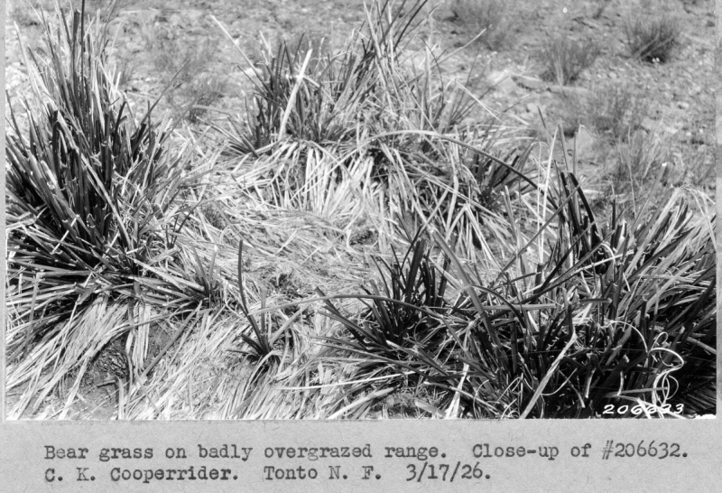
| Keywords: | range |
| Location: | Sierra Ancha; USA |
| Description: | overgrazed range |
| Date: | 03/17/1926 |
| Collection: | Sierra Ancha Historical Images |
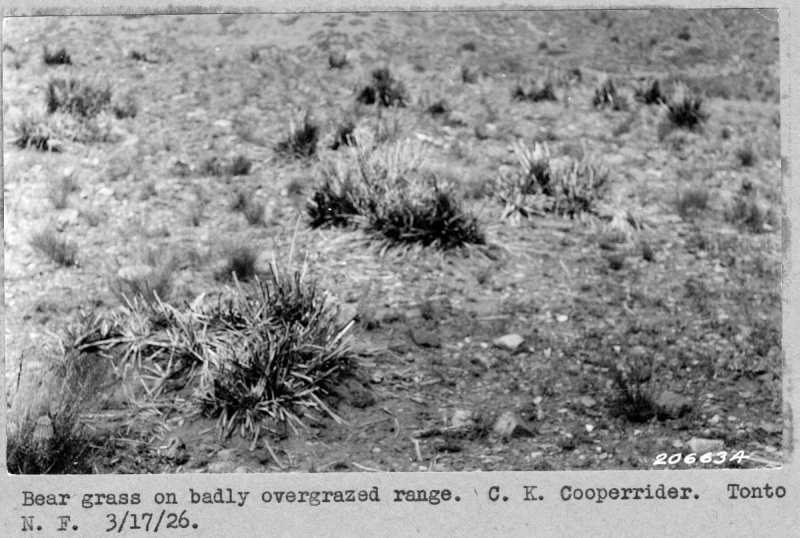
| Keywords: |
overgrazed range |
| Location: | Sierra Ancha; USA |
| Description: | overgrazed range |
| Date: | 03/17/1926 |
| Collection: | Sierra Ancha Historical Images |
| Keywords: |
overgrazed range |
| Location: | Sierra Ancha; USA |
| Description: | overgrazed range |
| Date: | 03/17/1926 |
| Collection: | Sierra Ancha Historical Images |
| Keywords: |
overgrazed range |
| Location: | Sierra Ancha; USA |
| Description: | overgrazed range |
| Date: | 03/17/1926 |
| Collection: | Sierra Ancha Historical Images |
| Keywords: |
overgrazed range |
| Location: | Sierra Ancha; USA |
| Description: | overgrazed range |
| Date: | 03/17/1926 |
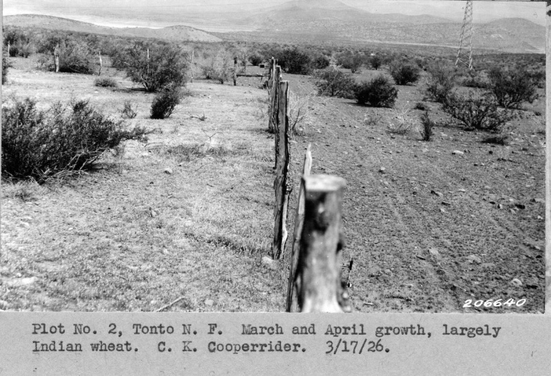
| Collection: | Sierra Ancha Historical Images |
| Keywords: | range |
| Location: | Sierra Ancha; USA |
| Description: | Range |
| Date: | 03/17/1926 |
| Collection: | Fort Valley Experimental Forest historical photographs |
| Keywords: |
grounds buildings |
| Location: | Fort Valley Experimental Forest; AZ; United States |
| Description: | Garage at the Ranger Training Camp, Fort Valley, 1926 |
| Date: | 1926 |
| Collection: | Fort Valley Experimental Forest historical photographs |
| Keywords: |
grounds buildings vehicles |
| Location: | Fort Valley Experimental Forest; AZ; United States |
| Description: | Fort Valley grounds; |
| Date: | 1926 |
| Collection: | Fort Valley Experimental Forest historical photographs |
| Keywords: | fire |
| Location: | Coconino National Forest; AZ; USA |
| Description: | Tractor roads make excellent fire lines |
| Date: | 1926 |
| Collection: | Fort Valley Experimental Forest historical photographs |
| Keywords: |
fire snow brush |
| Location: | Coconino National Forest; AZ; USA |
| Description: | Brush burning |
| Date: | 1926 |


