More About the Forest

More About the Forest Setting

The Tahoe National Forest is renowned for its rugged beauty, outstanding downhill and cross country ski opportunities, historic sites, and exceptionally productive timber lands. 

Watersheds

However, the forest is much more than trees. The lands of the Tahoe are drained by river basins that supply water for millions of people and thousands of acres of farmland. Major rivers on the Tahoe include:

  • American (North and Middle Forks)
  • Yuba (North, Middle, and South Forks)
  • Truckee/Feather (South Fork)
  • Bear/Deer Creek

Vegetation

The Tahoe has some of the most productive forest lands in the United States, due to our geographic location in the north-central Sierra Nevada, wet, cool winters, and warm, dry summers. Common tree species on the forest include:

  • Incense Cedar
  • Ponderosa Pine
  • Jeffrey Pine
  • Sugar Pine
  • Grey Pine
  • Foxtail Pine
  • White Fir
  • Red Fir
  • Douglas Fir
  • Giant Sequoia
  • Sierra Juniper
  • Kellog Oak
  • Live Oak

Recreation

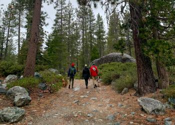
Today, the forest is managed for a variety of uses in keeping with the mission statement of the USDA Forest Service, "Caring for the Land and Serving People." Outdoor recreation is the major economic influence in the local communities. Millions of people visit the forest each year to hike, camp, swim, hunt, sightsee, ski and snowboard, rock climb, bicycle, and dozens of other activities. Timber, clean water, grazing, minerals, and other resources are produced for the economic health of the nation, managed to provide a continuing flow of resources in an ecologically sustainable fashion. Research areas on the Tahoe are managed to preserve and protect unique characteristics important for science. The Granite Chief wilderness is managed to preserve and protect an area that is substantially untrammeled by man.

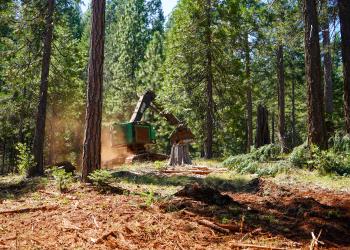
Historically, timber harvest has been a major economic force within the communities within and surrounding the Tahoe, but in the past few years, tourism and outdoor recreation have replaced timber harvest activities as the dominant economic force in the area. Mineral extraction has been an important economic and physical force on the Forest for over 140 years, due to our location at the heart of California's Gold Rush. It's been estimated that the Tahoe has more mining claims within our Forest Boundary than any other National Forest. Gold is the most common mineral mined, but chrome, silver, magnesium, and other minerals have also been found on the Forest. Aggregate materials and quarried rock are occasionally extracted from the National Forest.

Land Ownership

National Forest lands are the property of the people of the United States, managed by the Forest Service, an agency of the U.S. Department of Agriculture. However, not all lands within the Forest boundary are National Forest land. Of the 1,208,993 acres within the boundary, 811,740 acres, or 67%, are National Forest System lands. The other 397,253 acres are owned by private individuals, corporations, or other governmental agencies. In most cases, these lands have been privately held since before the creation of the National Forest.


We recommend that you have a map or a good understanding of "where you are" on the Forest when you're engaged in such activities as woodcutting, hunting, or just exploring. A glance at the land ownership map of the Forest would reveal an apparently odd condition on the Tahoe- checkerboard ownership.


One of the incentives that the Federal Government gave to railroads in the 19th century to spur development and construction of rail routes was to grant land titles to the railroads of some public domain lands along the right of way. When the transcontinental railroad was built over Donner Pass in the 1860s, the Central Pacific Railroad received alternate sections of land for each mile of track laid, and much of this land is still owned by the successors in interest of the original railroad. Much of the acreage is privately managed timberland. The Tahoe has an active land exchange program. These land exchanges are generally made to consolidate ownership of watersheds or other natural areas to facilitate better integrated resource management. 

Our Local Communities

Placer County

Nevada County

Sierra County

Yuba County