
Visitor Maps and Guides
As technology has advanced, so has the Forest Service's map offerings. We offer:
- Maps for your mobile device, free or low-cost
- Paper and plastic folding maps
- Digital layers for uploading to the app of your choice, such as Google Earth
- On-line interactive map
- Geospatial data (GIS)
Electronic Maps for Mobile Devices
Trails and Infrastructure
- Bessey Ranger District Gate Locations (With horseback riders in mind; sized for 11" x 17" paper, or upload to Avenza)
- Bessey Ranger District Motorized Trails (Sized for 11" x 8.5" paper, or upload to Avenza)
- Toadstool and Hudson-Meng Trail System
- Niobrara National Scenic River (Park Service, Avenza map)
Grouse Blinds
Prairie Dog Colonies
Rockhounding
- Popular sites at Buffalo Gap National Grassland, Wall Ranger District
How to upload maps to Avenza
Paper Maps for Purchase or Printing
Paper / Plastic Visitor Maps
Find paper maps at our offices or the USGS Store.
Paper Motor Vehicle Use Maps
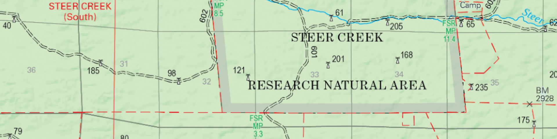
Motor Vehicle Use Maps (MVUMs) display National Forest System roads, trails, and areas designated open to motorized travel. Routes not shown on the MVUM are not open to public motor vehicle travel.
The MVUM is a black and white map with no topographic features and is best used in conjunction with a Forest Visitor Map or other topographic map. The MVUM is free to the public at our district offices and available online (shown above under electronic maps).
- Buffalo Gap National Grassland MVUM, Fall River Ranger District (e size atlas, 2020)
- Buffalo Gap National Grassland MVUM, Wall Ranger District (e size atlas, 2024)
- Fort Pierre National Grassland MVUM (d size atlas, 2020)
- Nebraska National Forest, Bessey Ranger District MVUM (d size atlas, 2020)
- Nebraska National Forest, Pine Ridge Ranger District MVUM (e size atlas, 2020)
- Oglala National Grassland MVUM (e size atlas, 2020)
- Samuel R. McKelvie National Forest MVUM (d size atlas 2020)