

Storm King Picnic Site
The picnic area is situated within Storm King Campground at the base of Storm King Mountain (elevation 10,849). It lies in an Aspen glen amidst rolling and rocky hills on the Middle Fork of Carnero Creek. 2 single picnic sites w/picnic tables, restrooms and fire grates are available on site.


General Information
Please make sure your fires are "Dead Out" before leaving the site. Please pack/in and pack/out your trash.
May to November
Visit the USGS store for passes.
Fires in designated fire rings only. Make sure your fire is "Dead Out" and cold to the touch before departing the site. Pack In/Pack Out all trash. This can be bear country. Remain "Bear Aware" and store food properly while camping.
Interagency Senior/Access Recreation Passes provide a 50% discount to single campsites ONLY.
*The discount applies only to the fee for the campsite physically occupied by the pass holder, not to any additional fee or campsite(s) occupied by members of the pass holder's party.
Interagency Recreation Passes are Honored for Day Use.
Dogs must be on leash not longer than six feet in length.
Carnero Guard Station Cabin is located close by at $50/night. Must reserve this cabin through Recreation.gov or call 1-877-444-6777.
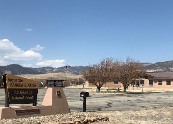
Contact Name: Saguache Ranger District
Contact Phone: 719-655-2547
Address: 46525 State Highway 114 Saguache, CO 81149
Phone: (719) 655-2547
Hours: Monday through Friday / 9:00 to 3:30 (Closed on federal holidays)
Getting There
Directions
Directions from Saguache, Colorado: Take CO Highway 114 for 14.5 miles west to County Road 41G, follow Forest Road 690 (CR 41G) over Carnero Pass. The campground is 14 miles from Highway 114 by this route. The picnic area is adjacent to the campground.
Directions from Monte Vista, Colorado: From U.S. Highway 285, take the La Garita turnoff (County Road G) and follow the paved road 6.0 miles west. Where the road forks, take the graveled Carnero Creek Road (FR 690/CR 41G) 14.5 miles northwest to the campground. The picnic area is adjacent to the campground.
Travel Considerations
Motorized access to the picnic area may be restricted by snow and seasonal road closures from March 15th to May 15th.
Parking
Limited parking is available within the campground next to the picnic areas.
Facility and Amenity Information
Restrooms
Restrooms are not available at this site.
One vault toilet available near the picnic sites.
Water
Potable water is not available at this site.
Water from streams nearby should be purified before consuming.
Picnic Tables
Picnic tables are available at this site.
Horse/Pack Animal Information
Horse/Pack animals are not allowed at this site.