
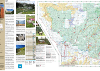
Visitor Maps and Guides
Get ready for your visit to the San Juan National Forest by reviewing available maps. Visitor maps, publications and current conditions are available at all District Offices.
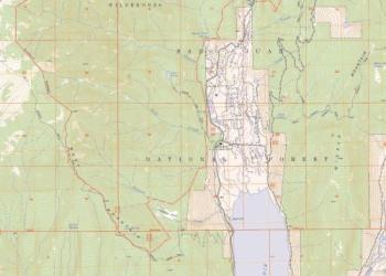
San Juan National Forest Overview Map

View the San Juan National Forest Overview map, highlighting the borders for the three ranger districts within the forest.
Interactive Visitor Map

View the San Juan National Forest Interactive Visitor Map to locate recreation sites on San Juan National Forest Service lands.
Mobile Friendly Maps

Download forest maps to your mobile device via the Avenza app. Find both Forest Service visitor maps and Motor Vehicle Use Maps.
Motor Vehicle Use Maps (MVUM)
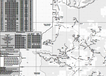
MVUMs show national forest system roads & trails open to motorized travel. Current road conditions are also available.
Buy Maps Online
US Geological Survey offers a variety of forest, grassland and wilderness maps. Having trouble finding the map you need? Check out the Visitor Map Finder.
Free FS Topo Maps
Downloadable topo maps overlay Forest Service assets on US Geological Service topo maps by quadrangle. FS Topo data is available in three different formats: geo-enabled PDF, GeoTiff and Vector data.
San Juan Mountains Association Bookstore

The San Juan Mountains Association online store offers the San Juan National Forest map and many more detailed maps of Southwest Colorado. All proceeds go towards stewardship and conservation education programs.