

Bermuda Flat Shoreline Area
Located along the shoreline of central Arizona’s largest lake. This site provides spectacular views of the Sierra Ancha Mountains and Four Peaks Wilderness. The gently sloping shoreline makes this a wonderful water recreation area. There are miles of expansive grassy areas near the shoreline lined with shade-providing mesquite trees.
General Information
There are no designated campsites at this shoreline area, but camping along the shore is allowed on a first come, first served basis.
High water levels will limit the amount of available shoreline in this area. Current lake level information can be found on SRP's Daily Water Report.
Open Season: February 16 - November 14
Seasonal Closure from November 15 through February 15 for protection of seasonal geese and migratory birds. Forest Order 12-16-5R
Quiet hours are 10:00 p.m. until 6:00 a.m.
The links below provide additional information on pricing and purchasing information.
- Tonto Daily Pass (and Watercraft Sticker, if required). Available at Tonto National Forest Offices and retail vendors (please call for availability).
- Tonto Discovery Pass. Available at Tonto National Forest Offices.
- Tonto Fee Machine Pass.
Restrictions
- Stay limit 14 days
- Only trailers under 32' allowed
- Pack it in pack it out,
- Lake levels determine amount of spaces available, internal roads are not paved,
- This area is prone to flash floods. Camp out of flood areas and watch the weather carefully.
- Rules and regulations are posted on bulletin boards. Please read and observe.
Shoreline boat launching. Do not attempt to launch large boats at this site.
Day Use:
$8 per vehicle per day (purchased at Tonto NF Office or Retail Vendor)
$12 per vehicle per day (purchased on-site at Tonto Fee Machine)
$80 per annual
$60 per senior & access annual
Tonto Watercraft Sticker: $4 per motorized watercraft, if required
Address: 28079 N. AZ Highway 188, Roosevelt, AZ 85545
Phone: (602) 225-5395
Hours: Open Mon.-Fri. 8 a.m. - 4:30 p.m. (closed 12:30 to 1:30 p.m.) Closed Saturday and Sunday (Closed on federal holidays)
Getting There
Latitude / Longitude
Latitude: 33.74504062
Longitude: -111.2260905
Elevation
2,100 Feet
Directions
This site is approximately 7 miles north of Roosevelt Dam.
From Mesa: Take State Hwy. 87 (Beeline Highway) north for approximately 60 miles to the junction of State Hwy. 87 and State Hwy. 188. Turn right (south) onto State Hwy. 188 and continue for 26 miles to Bermuda Flat.
From the Globe area: Take State Hwy. 188 north for 30 miles to the junction of State Hwy. 88 and State Hwy. 188. Continue north on State Hwy. 188 across the bridge for another six miles to the site. View Map
Facility and Amenity Information
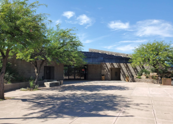
Restrooms
Restrooms are available at this site.
Water
Potable water is not available at this site.
Picnic Tables
Picnic tables are not available at this site.