
Ptarmigan Ridge Trail 682.1
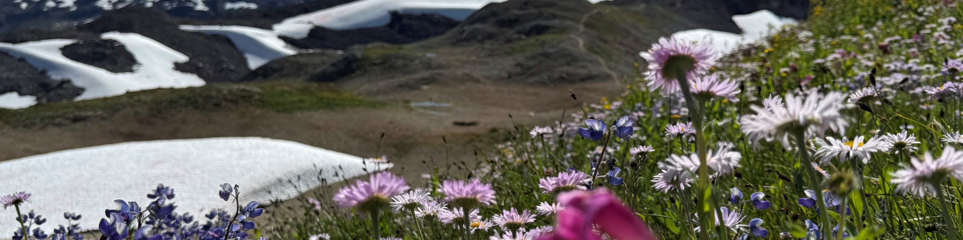
This trail is within Mt. Baker Wilderness. Begin hiking at majestic Artist Point toward the glaciated flanks of Mt. Baker. On clear days, mountain views stretch from Mt. Rainier to Canada.
Start by following the Chain Lakes Trail 682 west, skirting underneath the lava cliffs of Table Mountain. After one mile, the trail reaches a signed junction. Turn right to go to Chain Lakes. Take the trail on the left to go to Ptarmigan Ridge. Sections of the trail after the Chain Lakes junction have snow covered slopes well in to August or September. Poles and traction are recommended most of the year, and an ice axe may be necessary. When visibility is poor, it is very easy to get disoriented on Ptarmigan ridge and lose track of the trail.
Look for marmots and pikas along the trail. While enjoying the views into the Swift Creek and Wells Creek drainages, you may spot the local mountain goat herd grazing on slopes below the ridge. Three miles from the junction, the trail reaches the base of Coleman Pinnacle and views of the jade green Goats' Lake. The trail continues another half mile to the unmarked Camp Kiser area. Beyond this point, a primitive boot path leads to the East Portal. This section may require travel on snow covered slopes and route finding into September.


Specific Trail Information
Trail Number
Trail Type
General Information
Black bears frequent the area. Food and scented items need to be stored in a secure manner.
Maps:
• Green Trails: Mt. Baker Wilderness #13SX or Mt. Shuksan #14
• USGS: Shuksan Arm
• USFS: Mt. Baker Ranger District and Mt. Baker Wilderness
Mt. Baker Ranger District or Green Trails 13SX
Late Summer-Fall
There is no permit required for hiking but a valid Recreation Pass must be displayed in vehicles at Artist Point Trailhead. Washington State Discover Pass is not valid at US Fee Sites.
There is no permit required for hiking or camping but a valid Recreation Pass must be displayed in vehicles at Artist Point Trailhead.
No potable water.
Wilderness regulations apply within Mt. Baker Wilderness including a maximum party size of 12. Trail is hiker only.
- Between May 15- Nov. 15 camping is not allowed within one mile of the junction with Chain Lakes Trail.
- No fires, except self-contained, carry-in stoves.
- No snowmobiles.
- Dogs must be leashed within the developed recreation area of Heather Meadows.

Address: 10091 Mt. Baker Highway Glacier, WA 98244
Phone: (360) 599-2714
Hours: All passes and permits available at this location. Friday-Sunday 8 - 4:30, Monday-Thursday CLOSED. Seasonal hour change: Saturday and Sunday only, 9 a.m.-3 p.m. after 9/28. (Closed on federal holidays)
Getting There
Parking
Park at Artist Point Trailhead. Parking can fill quickly on sunny weekends. The Artist Point Trailhead is typically inaccessible in a vehicle due to snow November-June.
Directions
From Glacier, WA travel east to the end of Mt. Baker Highway SR 542. It is approximately 24 miles from the Glacier Public Service Center to the Artist Point parking lot. The trail is accessed from the western side of the parking lot, opposite the bathrooms.
Additional Information
Operated By
US Forest Service