Visitor Maps and Guides
Plan your visit to the George Washington and Jefferson National Forests.
Motor Vehicle Use Map
Download or print the Motor Vehicle Use map to see National Forest System routes (roads and trails) or areas designated as open to motorized travel. The Motor Vehicle Use Map also displays uses allowed by vehicle class (highway-legal vehicles, vehicles less than 50 inches wide and motorcycles), and seasonal allowances.
Digital Maps and Maps for Mobile Devices
After you plan your visit, download an app and a map to carry with your on your visit.
Avenza Maps™

Avenza Maps™ is a mobile map app that allows you to download maps for offline use on your iOS and Android smartphone or tablet.
Forest Service Visitor Map App

Keep the interactive Forest Visitor Map in your pocket with the app. Download the forest map prior to heading out to the forest and you will be able to access trail, road, and facility information even if you do not have cell phone coverage.
FSTopo

FSTopo is the Forest Service's series of large scale topographic maps.
Purchase Paper Maps
Purchase paper maps at your local ranger district office or through partners and other retailers.
Ranger District Offices

Maps are sold at some of our Ranger District Offices. Call before you visit to see what is available.
Potomac Appalachian Trail Club Store

The Potomac Appalachian Trail Club, a partner who maintains multiple trails on the northern end of the George Washington National Forest, offers numerous maps and trail guides.
National Geographic Trails Illustrated Maps

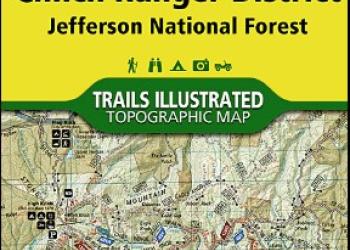
The National Geographic Trails Illustrated maps provide detailed trail, road, forest boundary and topographical information.


