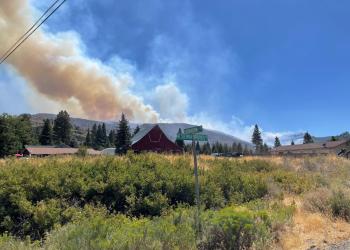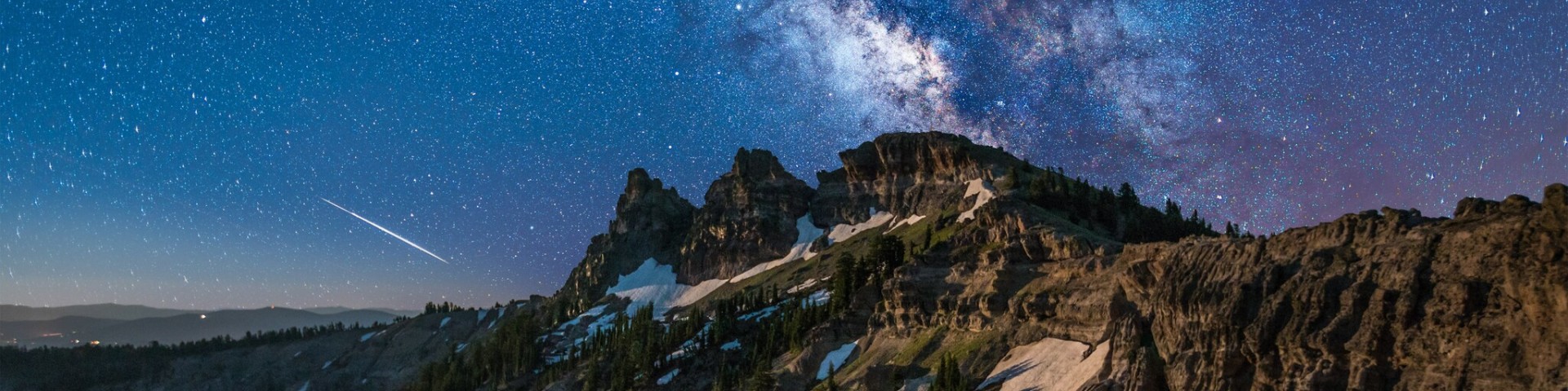
Welcome to Tahoe National Forest
Welcome to the Tahoe National Forest - where there are many things to see and do! Tahoe National Forest is located in the northern Sierra Nevada and extends from the foothills across the Sierra crest to the California-Nevada state line. Tahoe National Forest includes more than 850,000 acres of public land intermixed with 350,000 acres of private land in a checkerboard pattern.
Christmas Tree Permits

Tahoe National Forest Christmas Tree permits are now available. This permit allows you to cut a Christmas Tree within designated areas of the Tahoe National Forest.
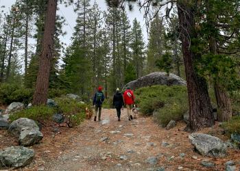
Visit the Forest

For your safety and enjoyment, always plan ahead and prepare for your visit to the Tahoe National Forest.
Learn about the Tahoe
Whether you're visiting for the first time or hundredth time, you may have questions about your upcoming trip.
Forest Projects
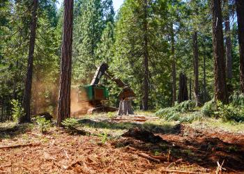
Provide public comment, view maps and learn about projects on the Tahoe National Forest.