
Welcome to the Apache-Sitgreaves National Forests
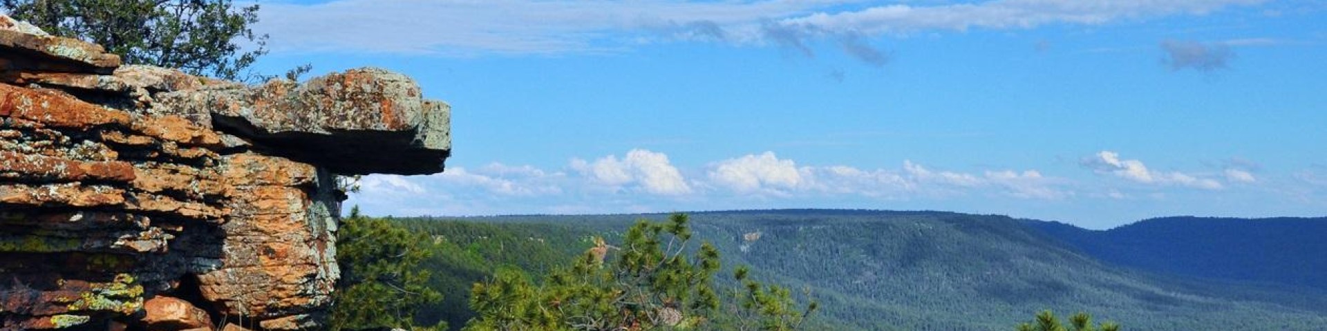
The forests' elevations range from 3,500 feet on the Clifton Ranger District to over 11,000 feet on the Mount Baldy Wilderness in Arizona. The ASNF is home to a large part of the Mogollon Rim and White Mountains, rich in beauty and tranquility. Water is a major attraction with 24 lakes and reservoirs and more than 400 miles of rivers and streams—more than can be found in any other southwestern forest.