
Discover Your National Forests
The Green Mountain National Forest (GMNF) and the Finger Lakes National Forest (FLNF) are Vermont's and New York's only public, federally managed National Forests.
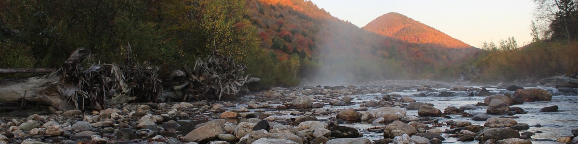
They offer sprawling quintessential northeastern woodland settings in New York and Vermont. Whether to hike, ski, or admire the fall foliage, diverse recreation opportunities draw in visitors year-round.
Camping and Cabins
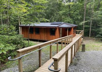
Camping is a favorite activity on National Forests. The Green Mountain and Finger Lakes National Forests offer a variety of camping experiences ranging from developed campgrounds to backcountry camping (dispersed camping).
Recreation Opportunities
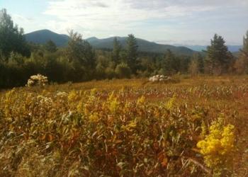
The Green Mountain and Finger Lakes National Forests are full of hiking opportunities for people of all interests and abilities.
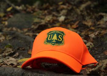
The GMFL offers hunting/fishing opportunities for all experience levels.

The Green Mountain and Finger Lakes National Forests have nearly 150 miles of trail managed for mountain biking. Forest roads are also open for…