
La Cueva Trailhead-La Cueva Trail 83 & Picnic Site
La Cueva Trailhead accesses La Cueva Trail 83 & Tramway Trail 82 from within La Cueva Picnic Site.
La Cueva Picnic Site is full of Civilian Conservation Corps (CCC) history. It is listed in New Mexico’s Registry of Historic Places.
- NO CAMPING ALLOWED
- Cell phone coverage is not guaranteed.
- Please refer to the Sandia Mountain Trails map to plan your course.
- It is the recreationist’s responsibility to use a map.
- Trail(s) are open for the following uses: Hiking and Horseback Riding.
Call the Sandia Ranger District for the most up-to-date- closure information for the winter season.
General Information
La Cueva Picnic Site is full of Civilian Conservation Corps (aka CCC) history. It is listed in New Mexico’s Registry of Historic Places.
There are stone picnic tables and structures built by master stoneworkers during the 1930's, to blend seamlessly into the existing landscape. You will soon discover a rock pavilion that is hidden by the trees, plus other small structures sprinkled throughout the site. Keep your eyes open for picnic tables, vault toilets and fire places that are tucked away in nooks and crannies, throughout this site.
The CCC was an early New Deal program begun by President Roosevelt in 1933 and continuing through 1942. During the great the Depression, The Civilian Conservation Corps employed local young men, all across the nation, to work on projects that would build up and improve states and national forests and parks.
Albuquerque, the Sandia Mountains, and New Mexico gained facilities that are still in use and enjoyed today. The structures you see in the La Cueva Picnic Site are almost 90 years old! They have truly stood the test of time.
Just think, some of your relatives may have been a part of developing the La Cueva Picnic Site area.
The Civilian Conservation Corps (CCC) has a rich history and lasting presence throughout the Sandia’s. In their honor, we ask that you take extra care to “Leave No Trace” when you visit.
- New Mexico Enchantment Pass
- Interagency Passes
- Need help deciding which pass is right for you?
Day Use:
$5 per vehicle per day
- Requires a $5 fee or a day-use pass.
- CASH OR CHECK ONLY at pay station.
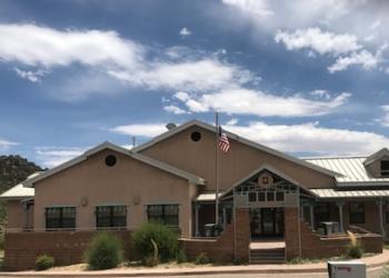
Address: 11776 Hwy. 337, Tijeras, NM 87059
Phone: 505-281-3304
Hours: M-F: 8:00 a.m. - 4:30 p.m. (Closed on federal holidays)
Getting There
Latitude / Longitude
Latitude: 35.20469355
Longitude: -106.48945687
Elevation
6,600 feet
Directions
From Albuquerque:
Drive north on Tramway Blvd about one mile past the Tramway Road (turn off to the Sandia Tram). Tramway curves toward the west. Look for signs for Juan Tabo Picnic Area/La Luz Trailhead and Forest Road 333. Turn right. After crossing the second cattle guard (0.3 Mile) turn right on FR 333B and follow the main asphalt road for one mile. Turn right as the road going east ends. The parking area is about fifty yards to the south at the trailhead. There is a sign.
From the West Side of Albuquerque:
Drive I-25 to the Tramway Blvd exit. Follow Tramway Boulevard toward the Sandias and look for signs for Juan Tabo Picnic Area/La Luz Trailhead and Forest Road 333. Turn left and follow FR 333. After crossing the second cattle guard (0.3 Mile) turn right on FR 333B and follow the main asphalt road for one mile. Turn right as the road going east ends. The parking area is about fifty yards to the south at the trailhead. There is a sign.
Facility and Amenity Information
Restrooms
Restrooms are available at this site.
Water
Potable water is not available at this site.
Picnic Tables
Picnic tables are available at this site.