
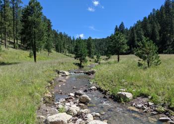
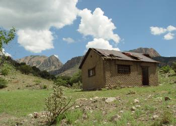
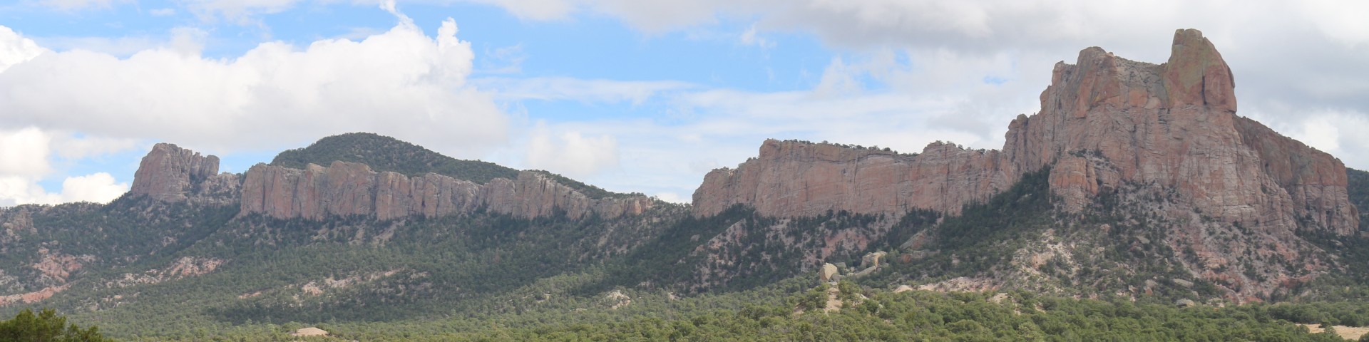
Magdalena RD San Mateo Mountains

The San Mateo Mountains, southwest of Magdalena, parallel the Rio Grande Valley. National forest lands begin on the high benches west of the river and extend up and over the mountains’ crest. West of the crest, the land drops sharply to the high benchlands which drain toward the Plains of San Augustin and the Alamosa River. Elevations range from 5,200 feet along the east edge of the district to 10,336 feet at West Blue Mountain. Lower elevations are covered in grassland-shrub oak type vegetation grading into piñon-juniper. Canyon bottoms are inhabited by riparian species like Arizona walnut, Arizona alder, narrowleaf cottonwood, and hackberry. Middle elevations are predominately ponderosa pine, while the high country is covered in Douglas-fir, spruce, and aspen.

Recreation Sites

Showing: 1 - 4 of 4 results

Bear Trap Campground

Site Closed
Picnicking
Small (4 unit) campsite without water is popular nonetheless due to cool mountain setting and proximity to Withington Lookout 2 (steep) miles away

Hughes Mill Campground

Site Open
Picnicking
Popular campground at 8100' has 2 sites and dispersed camping with trailhead for hiking seven tough miles to Mt. Withington Lookout

Luna Park Campground

Site Open
Picnicking
Odd volcanic rock formations give moon-like appearance to this popular picnic spot which also has three campsites, but little shade and no water.

Springtime Campground

Site Open
Horse Riding and Camping Picnicking Hunting, Fishing and Shooting
6 campsites with Adirondack shelters provide access to Apache Kid Wilderness and San Mateo Peak Lookout by hiking or horseback.

Last updated March 19th, 2025