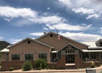
Placitas Trailhead
Please refer to the Placitas Area Trail System map and Sandia Mountain Trails map to plan your course.
- Cell phone coverage is not guaranteed
- It is the recreationist’s responsibility to know which trails are designated for motorized vehicles and to follow the guidelines.
- It is a multi-user area.
- Trail(s) open for the following uses: Hiking, Mountain Biking and Horseback Riding.
General Information
The Placitas Area Trail System encompasses a number of designated National Forest System trails as well as a number of user-created, unofficial trails. The Sandia Ranger District asks users to minimize their impact(s) to this fragile environment by observing the following:
- Be courteous to other users – bicycles yield to hikers and horses
- Travel only on established trails – limit cross country travel
- Trail construction is not permitted unless approved by the Cibola National Forest Service
- Bicycles are not permitted within the Sandia Mountain Wilderness
- No Motorized Vehicles (including “e-bikes”) permitted on trails
Open year round
Address: 11776 Hwy. 337, Tijeras, NM 87059
Phone: 505-281-3304
Hours: M-F: 8:00 a.m. - 4:30 p.m. (Closed on federal holidays)
Getting There
Directions
From Albuquerque, drive north on I-25 to Exit 242 Bernalillo/NM 165, stay to your right as you exit the ramp. Proceed east on NM 165 and drive about 2.5 miles, to the first entry point to Forest Road Loop 445. Turn onto Forest Road Loop 445 and drive until you see the parking lot.
(MVUM) Official Motor Vehicle Use Map - North
Facility and Amenity Information
Restrooms
Restrooms are not available at this site.
Water
Potable water is not available at this site.


