
Tecolote Trailhead & Tecolote Trail 264
Tecolote Trail 264, is a stand-alone trail with 360 degree views. It is 1.2 miles one way, and is accessed at Tecolote Trailhead.
Please refer to the Sandia Mountain Trails map to plan your course.
- Cell phone coverage is not guaranteed.
- It is the recreationist’s responsibility to use a map.
- Trail(s) are open for the following uses: Hiking, Mountain Biking and Horseback Riding.
General Information
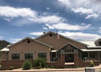
Address: 11776 Hwy. 337, Tijeras, NM 87059
Phone: 505-281-3304
Hours: M-F: 8:00 a.m. - 4:30 p.m. (Closed on federal holidays)
Getting There
Elevation
8,810
Directions
From Albuquerque, drive east on I-40 to Exit 175 toward Cedar Crest/N-14. Follow N-14 aka the Turquoise Trail for approximately 6.5 miles, to State Highway 536 aka the Sandia Crest Scenic Byway. Turn left onto 536 and follow it for about 6 miles. The turn off into the parking lot is just past the “6 Mile” marker on your right, just off 536.
(MVUM) Official Motor Vehicle Use Map - North
Facility and Amenity Information
Restrooms
Restroom information is not currently available for this site.
Water
Potable water is not available at this site.