
Water, Air and Soil
Water is one of the most important commodities on Forest Service lands, and the cleanest water flows from healthy, forested watersheds.
Air, like water, is inseparable from the health of natural resources. Poor air quality decreases visibility, acidifies or disrupts the nutrient balance in lakes and streams, injures plant and animal communities and harms human health.
Healthy soil absorbs water and makes it available for plants, cycle nutrients and filter pollutants. Soil also controls water flow and stores and cycles nutrients. Soil is the basis of our ecosystem and controls living things above and below the surface.
Riparian & Aquatic Ecosystem Strategy
Purpose
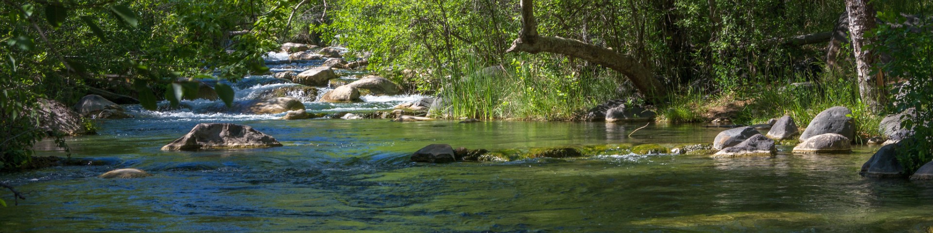
Water is a precious resource in the Southwest. Growing human demand and a changing climate create an urgency to protect these natural resources on the National Forests and Grassland. Riparian and aquatic areas, the places where land and water meet, are home to a unique group of plants, birds, insects, reptiles, amphibians, fish and mammals. These areas are essential to sustain life for millions of people and wildlife and plant species. We are inviting our partners to work with us to implement this strategy which is based on goals and objectives that will help maintain and restore these invaluable areas.
Riparian & Aquatic Ecosystem Strategy Desired-Existing Conditions Supplement
Aquatic-Riparian Inventory
The Aquatic-Riparian Inventory (ARI) represents a continual inventory and monitoring program for determining resource conditions and trends. ARI represents one of several corporate resources that support the assessment of indicators formalized in the Regional Riparian-Aquatic Ecosystem Strategy. ARI is a systematic and repeat inventory (10-year cycle) of riparian corridors in the Southwestern Region. It serves as a riparian-stream counterpart to the Forest Inventory and Analysis (FIA) measurement of upland ecosystems. ARI uses a systematic sample design and high-resolution stereo aerial photography for the interpretation of one-hectare (2.5 acres) and two stream meanders sample units, to provide consistent and quantitative resource data supportive of landscape-level analysis. Please visit the ARI Story Map which provides detailed information on program and access to the data.
ARI StoryMap Collection ARI Protocol Guide
Get Involved
We work with partners across the region on restoration projects. Connect with partners and find opportunities to get involved.
Northern Arizona Forest Fund Southern Arizona Forest Fund
Long Valley Channel Restoration
The Long Valley Channel restoration project on the Coconino National Forest reduced the affects of over-grazing and off-road vehicle to create a healthy riparian and meadow environment.