
About the Area


With its beautiful tree covered mountains, clear mountain streams and fertile valleys marks the beginning of the foothills to the Rocky Mountains. The 1.1-million-acre forest was first shaped over 10,000 years ago by Ice Age glaciers that carved four major valleys that today form the Columbia, Sanpoil-Curlew, Pend Oreille River and Okanogan valleys. The mountains and valleys that comprise the lush northeast corner of Washington roll like waves on the high seas. Three waves of mountains run from north to south, separated by troughs of beautify valleys. These ranges: the Okanogan, Kettle River and Selkirk are considered the eastern edge of the Okanagan highlands and the foothills of the Rocky Mountains.
The Forest has five Ranger Districts and four District Rangers: Three Rivers Ranger District, Newport and Sullivan Lake Ranger Districts, Republic Ranger District and Tonasket Ranger District. Each unit tends to have distinctly different zones, each with its unique climate, topography, and vegetation. Each district office is located in one of the major river drainages: the Sanpoil-Curlew River Valleys, the Kettle-Colville-Columbia River Valleys, the Pend Oreille River Valley and the Okanogan River Valley. Topography is varied, ranging from rounded mountain slopes at low elevations to high peaks and basins above 7,300 feet in elevation.
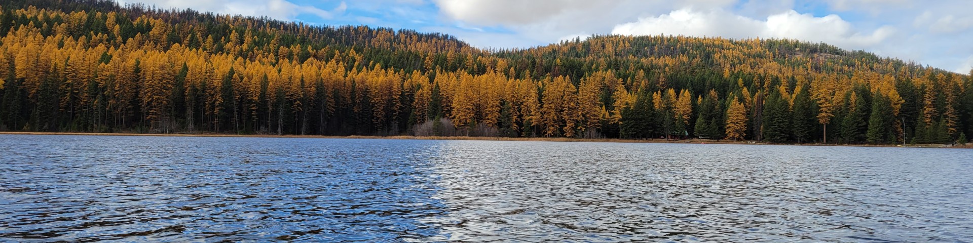
The ecology of the Colville is highly diverse with forests ranging from ponderosa pine and Douglas fir on drier sites to western red cedar, western hemlock, western white pine and an excellent variety of deciduous species on wetter sites. The Forest also has a significant acreage of lodgepole pine and the famously beautiful western larch. Approximately 25% of the Forest was burned in the early part of the century. The Forest is also home to a tremendous variety of wildlife including whitetail and mule deer, elk, moose, bighorn sheep, mountain goats, and black bear. Rare sightings are also possible of the threatened grizzly, Canada lynx, and endangered woodland caribou. Another amazing site is the large number of bald eagles that winter along the major rivers and nest in the vicinity.
The Colville is not only unique in its climate and topography but is also on the cutting edge of Forest Service policy. In 2007, the Colville was selected as one of three national forests in the nation to practice a new business model that focused on collaboration and a predictable budget. The concept behind the model suggests that through close and early collaboration with the public combined with a predictable budget, the Forest can increase managed outcomes, improve relationships with our communities while decreasing overall costs. Through this effort, the Colville has built upon an existing positive collaboration network amongst numerous interest groups and moved the new business model forward into a practice. Through this new model the Forest has moved 22 timber related projects forward without appeal or litigation. The Colville has also hosted a number of new initiatives and pilot programs over the years and is truly a Forest that is on the cutting edge of new trends in the agency. This unique aspect of the Colville provides a positive, yet challenging working environment with many innovative ways of doing business.
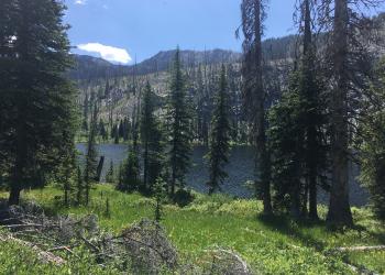
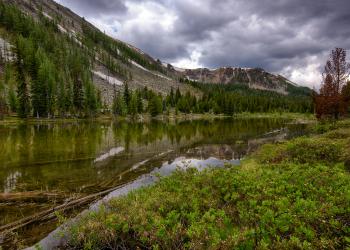
The community of Colville is the County Seat of Stevens County, located in the northeastern corner of Washington, 40 miles south of the Canadian border and approximately 65 miles north of Spokane. Colville is an outdoor enthusiast’s paradise. The relatively undiscovered treasures found throughout the area are the abundance of recreational opportunities found minutes from your front door. There are numerous lakes, rivers, streams, and miles of trails in all directions. Opportunities abound within 45-minute drive including a national scenic highway, numerous golf courses, boating on Lake Roosevelt National Recreation Area, wildlife viewing, fishing, hunting, hiking and paddling. If winter sports are your passion the area has abundant downhill and cross-country skiing, snowmobiling, and backcountry opportunities in the Kettle Crest area and the Salmo Priest Wilderness. If this doesn’t keep you busy, there are many more outdoor opportunities available in North Idaho and Southern British Columbia.
While Colville’s unofficial town motto is “Discover Our Good Nature,” the community also boasts a number of active civic groups, a performing arts theater in nearby Kettle Falls, a growing slow food movement, community supported agriculture and a community garden that has made headlines in the local paper. The community is also known for its excellent library and parks and recreation programs – including summer reading programs, swimming programs and summer youth programs.
Shopping and services are also not a problem with a rustic, but vibrant downtown and great number of locally produced products and goods. When shopping is the topic in Colville the saying “Colville has everything you need and most of what you want” typically applies. Colville had two large grocery stores, a Super Wal Mart, 2 full-service auto dealerships and a number or small businesses and services. If you can’t find what you are looking for in Colville, Spokane (65 miles) and Coeur d' Alene, ID (97 miles) offer extensive shopping, restaurants, and entertainment opportunities. Spokane is also a major medical center for the Inland Northwest and is home to many specialists and a children’s hospital. Spokane is also home to an international airport serviced by 10 carriers with connections to a number of major hub airports. There is also a newly launched airport shuttle that will be operating between Colville and Spokane on a regular basis.
The population of Colville is approximately 5,000 people with a larger “trade area” comprising and additional 30,000 people in smaller communities. The major employers include Boise Cascade, Columbia Cedar, Vaagen Brothers Lumber, Colville School District, U.S. Forest Service, Stevens County, Mt. Carmel Hospital, Washington State Department of Natural Resources, City of Colville, and NE Washington Rural Resources.
Colville offers 5 public schools, K-12, including a recently constructed high school facility and 3 private schools. There is also a Community Colleges of Spokane extension center in Colville.
Community health facilities include a newly remodeled and expanded hospital with a complete staff of physicians, surgeons and a variety of specialists. There are also has number of dentists and 2 nursing homes.
Colville sits at 1,635 feet in elevation and despite being located at a high latitude (48°32”), the area has four distinct, beautiful seasons with temperature ranges (in Fahrenheit) from a median low of 24.5° to a median high of 75.7°. The average precipitation is approximately 17" of rain and 48" of snow with some precipitation occurring nearly every month. The average length of the growing season in and around Colville is 180 days, ranging from May to October. Sunshine is an estimated 55% and wind averages about 6 mph.
Highlighted Areas
Salmo-Priest Wilderness

Tucked among the Selkirk Mountains in the extreme northeastern corner of Washington, the U-shaped 43,348 acre Salmo-Priest Wilderness extends its borders along those of Idaho and British Columbia. Its most prominent features are two very long ridges, generally running southwest to northeast, connected near their northern ends by a ridge crowned by 6,828-foot Salmo Mountain. The eastern ridge stands lower, more wooded, more rounded off and more accessible than the steep-sided, rocky-crested western ridge. Streams have cut deep drainages into both ridges. Water from the eastern side of the eastern ridge ends up in Idaho's Priest River. The remaining wilderness drains generally westerly via Sullivan Creek and the Salmo River into the Pend Oreille River.
Below the ridge tops of this well-watered Wilderness (at 50+ inches of precipitation annually) you'll find the largest growth of virgin forest left in eastern Washington: western red cedar, western hemlock, Douglas fir, grand fir, larch. The forest houses mule deer and white-tailed deer, elk, black bears, cougars, bobcats, badgers, pine martens, lynx, bighorn sheep, and moose. Though rarely sighted, threatened and endangered species including woodland caribou, grizzly bears and gray wolves also roam through this region. Winter snows may blanket the ground until early July at higher elevations.
The Shedroof Divide Trail, the longest path in the area at 21.8 miles, follows the extent of the eastern ridge through open timber and subalpine meadows. It traverses several miles of non-wilderness ridgeline into Idaho, where another 17,585 acres of roadless terrain has been proposed for addition to the Salmo-Priest. The 7.8-mile Crowell Ridge Trail traces the narrower western ridge, offering splendid overviews of trailless backcountry to the north. Several other feeder trails ascend drainages to interconnect the two primary ridge trails.
49° North Mountain Resort

Washington state's best kept secret, 49° North Mountain Resort truly offers adventures for everyone. This traditional Northwest resort is blessed with wide open groomed runs, moguls, powder, and hundreds of acres of legendary tree skiing. The ski area is open from approximately November through April, snow conditions permitting. The area offers abundant recreational opportunities year-round. Check with the Resort for details.
- 49° North Mountain Resort Winter Map
- 49° North Mountain Resort Summer Map
- For more information about the area, click here.
- Winter conditions and snow levels are updated daily, click here for current conditions
The trail system, designed for cross-country skiing and mountain biking, are maintained by 49° North Mountain Resort. Most trails are located on Chewelah Mountain and connect with roads that link back to the ski lodge on Flowery Trail Road. During winter months a small fee is charged to ride chair #1 to access trails. Summer access to trails through existing roads.
Peewee Falls Scenic Overlook

View from Pewee Falls Scenic Overlook
Located on the Newport-Sullivan Lake Ranger District, this new overlook provides spectacular views of Peewee Falls and Boundary Lake. A 9-mile trail from this location to Riverside Mine Scenic Overlook was completed in 2024.